Shower chances to bookend a nice weekend
Thursday, September 24, 2026






Filtered sunshine and temperatures right at our 70-degree average are over Steamboat Springs this Thursday mid-afternoon. Monsoonal moisture will bring a chance of showers this afternoon and again through Friday morning before a cool front sweeps it eastward in the afternoon for a beautiful first weekend of fall. But showers return on Monday, with perhaps our first dusting of snow at the top of the Steamboat Ski Resort on Tuesday morning.
Monsoonal moisture will continue to be drawn northward over our area through Friday morning by winds between a storm approaching the Pacific Northwest and high pressure extending from Texas northeastward across the Great Plains. A wave traveling northward around the backside of the high pressure will bring good chances of early morning showers on Friday, lingering until around noon as the Pacific Northwest storm crosses the coast and sends a cool front our way.
While the Pacific Northwest storm will rotate into Alberta by Saturday, forced eastward by another developing and cold storm in the Gulf of Alaska, westerly breezes behind the cool front will clear the monsoonal moisture eastward, ending showers by Friday afternoon.
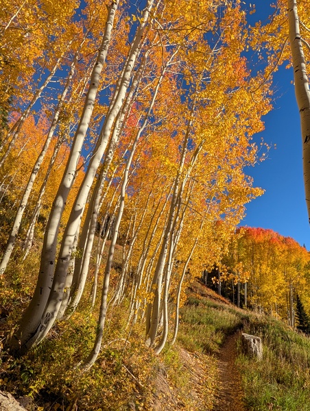
This sets the stage for a gorgeous first Saturday of fall, with mostly sunny skies and temperatures in the low-seventies. Expect more of the same for Sunday, except for increasing afternoon clouds ahead of a very interesting start to the workweek.
Our weather will be influenced not only by the approaching Gulf of Alaska storm, but by two hurricanes: Hurricane Polo, located about 100 miles offshore of southwestern Mexico, and Hurricane Odalys, located well west-southwest of the southern tip of Baja California.
Moisture from Odalys will be the first to reach our area starting later Sunday, as it is drawn northeastward by the winds ahead of the approaching cold storm forecast to cross the central California coast Sunday night. Shower chances increase dramatically on Monday as Polo moves toward the Baja coast, injecting copious moisture into the southwest winds ahead of the approaching cold storm and bringing a wet start to the workweek.
The storm is forecast to cross the Great Basin on Monday, bringing our first true cold front of the season during the day. Snow levels are forecast to drop to mountain-top levels on Tuesday morning, possibly bringing the first snows of the season to the top of the Steamboat Ski Resort.
However, unsurprisingly, there is a lot of uncertainty due to so many moving parts. So enjoy what should be a quintessential Colorado fall weekend, and look forward to the meteorologically exciting start to the workweek when a polar front interacts with two tropical systems. I’ll have the latest details about that in my next regularly scheduled weather narrative on Sunday afternoon.
Add comment
Fill out the form below to add your own comments