Small chance of showers to briefly interrupt more summery weather
Sunday, October 4, 2026






Temperatures are already near 70 degrees under sunny skies in Steamboat Springs on this Sunday at noon. Other than a brief increase in cloudiness early in the workweek, with a small chance of a shower, our summery stretch of weather will continue into next weekend. Soak up the summery weather now, however, as an abrupt change to more seasonable weather may occur soon after.
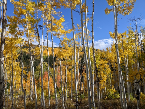
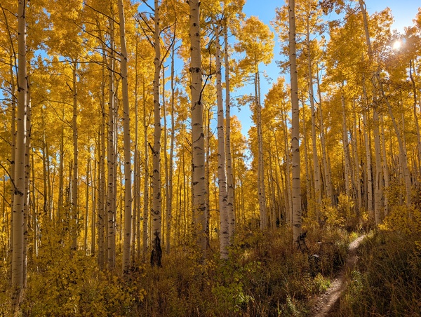 The fall color spectacle has been great this year, despite its late arrival and the warnings of dull color. Leaves above 9.000′ are falling as the color migrates to the lower elevations.
A ridge of high pressure over the West is responsible for this stretch of spectacular weather. A weak area of low pressure approaching the central California coast is forecast to cross the Great Basin through Tuesday, though the clouds and only a slight chance of a shower will not keep high temperatures from the mid-70s, above our 65-degree average.
Differences between some of the short-range models mean clouds may arrive as soon as late Monday, with clearing afterwards, or as late as late Tuesday, lasting into Wednesday, with the later arrival perhaps accompanied by a slight chance of a shower.
Otherwise, mostly sunny skies return for the rest of the workweek, with the beautiful weather extending into at least the start of next weekend. However, changes occurring in the Eastern Pacific this week portend changes occurring over our area by mid-weekend, or early the following workweek.
A wave in the jet stream ahead of the northeastward-moving Super Typhoon Choi-Wan off the southeast coast of Japan will strengthen as cold Arctic air pours through the Bering Straight. The wave will elongate and split near the Dateline by midweek, move through the Gulf of Alaska, and approach the Pacific Northwest coast by early in the weekend. Additionally, Hurricane Rachel, southwest of Baja, may also interact with the incoming storm after it crosses the Pacific Northwest coast.
While the ridge of high pressure over the West will offer some resistance, the incoming storm will eventually win, bringing below-average temperatures and a chance of the season’s first snowfall above mid-mountain at the Steamboat Ski Resort. Lots of moving pieces need to interact before any certainty can be added to the forecast, which I hope to have in time for my next regularly scheduled weather narrative on Thursday afternoon.
Until then, get outside and enjoy the certainty of another summery week, accompanied by the bedazzling fall color spectacle.