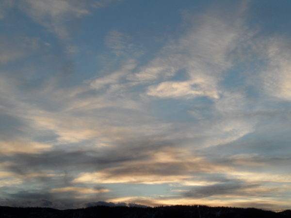
Nice weekend ahead of stormy weather
Thursday, February 17, 2022
Temperatures of 25 F at the Bob Adams airport and 6 F near the top of Mt Werner are over the Steamboat Springs area this Thursday mid-afternoon. While the low elevations see some sun behind the storm yesterday, clouds dominate the upper reaches of the Steamboat Ski Resort. Temperatures will be warmer on Friday with some clouds and even some showers at the higher elevations and periods of sun in the valley. More warming and sunny skies are forecast for Saturday with a similarly warm Sunday marking the transition to a stormy weather pattern starting around George Washington’s Birthday.
The Steamboat Ski Area reported 9” at mid-mountain and 13” up top on the morning ski report, with all but 1” at mid and 5” up top occurring during a stormy Wednesday. There is still some moisture around behind the storm in the northwest flow that is funneled between a broad ridge of high pressure centered over the Gulf of Alaska and a trough of low pressure extending from a vortex of cold air centered over Hudson Bay southwestward to Baja, so our area will be susceptible to clouds and showers, especially at the higher elevations, for tonight and Friday.
A storm by the Dateline is forecast to briefly flatten the Gulf of Alaska ridge of high pressure and cross the Vancouver coast late in the weekend. Part of that ridge of high pressure will move overhead on Saturday and the beginning of Sunday ahead of the storm, bringing sunny skies and warmer temperatures, with high temperatures in the valley around 5 degrees above our average of 33 F.
But behind the transient ridge, the Vancouver storm is forecast to mix with a lobe of cold air spinning around the Hudson Bay vortex and move into the western Great Basin by Sunday night. The details are vague at this point, but the large and cold storm looks to be reinforced by waves of energy ejecting out of a developing storm currently off the coast of Japan. The end result is a possibly long lasting period of winter weather that is currently forecast to start around George Washington’s Birthday and last through at least some of the work week.
There are a lot of details that need to be ironed out by the various weather forecast models in the coming days, so stay tuned to my next regularly scheduled weather narrative on Sunday afternoon where I’ll discuss the evolving storm and have some snowfall guesses.


