Snowy work week ahead
Sunday, February 20, 2022
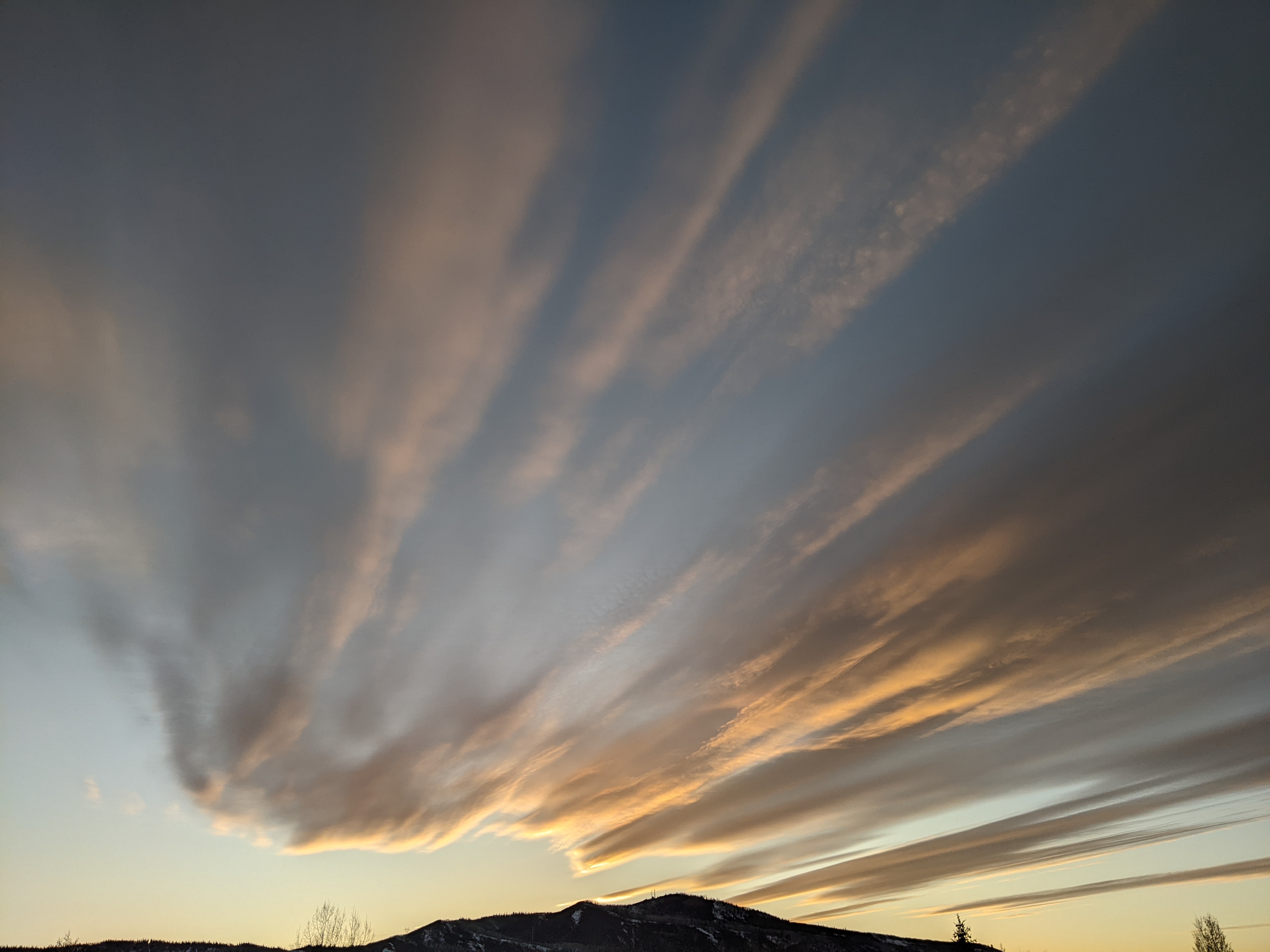
Bluebird skies and warm temperatures in the upper thirties at the Bob Adams airport and upper twenties near the top of Mt. Werner are over the Steamboat Springs area this Sunday mid-afternoon. Soak up all the sun you can today as a large and complex storm forecast to develop over the western U.S. will bring winter weather back to our area starting on Washington’s Birthday and lasting through the work week.
Currently, an expansive ridge of high pressure sits over the Gulf of Alaska while a deep vortex of cold air remains anchored over Hudson Bay and extends westward across most of Canada. The storm of interest has already traveled over the top of the ridge and is currently moving south along the Pacific Northwest coast. A large chunk of arctic air that is currently splitting away from the vortex over Hudson Bay is forecast to mix with the storm and move across the Great Basin on Monday even as the area of low pressure over the West is reinforced by additional Pacific energy traveling over the top of the ridge.
The end result is a complex storm system that includes several moving pieces, with small differences in timing or strength of these pieces possibly leading to large differences in snowfall, even though much colder weather with periods of snow are almost certain this work week.
With that disclaimer in mind, the latest forecast has the arctic front on our Wyoming doorstep by Monday morning with pieces of the leading storm moving over the arctic boundary to our north where moderate to sometimes heavy snowfall will be focused. Winds will be quite breezy from the southwest ahead of the front tonight into Monday, with the winds forecast to decrease as the arctic front passes around midnight on Monday.
Weather forecast models have generally slowed the front over the past few cycles as the storm to our west intensified, with snowfall now expected by Monday afternoon. The southward progress of the front may be stalled or even reversed later Monday depending upon the strength of the southwest winds ahead of the storm, so there is a possibility of the afternoon snow ending for a short time Monday evening before markedly increasing again after midnight.
Temperatures will plummet behind the front by early Tuesday morning, with low temperatures in the single digits below zero at all elevations and 6-12” of snow expected on the morning mid-mountain report at the Steamboat Ski Resort. Snowfall rates should markedly decrease on Tuesday as the leading storm passes and the area of low pressure to our west is reinvigorated by another wave of Pacific energy that will take the same path as the first into the Great Basin.
Energy is forecast to eject out of the new Great Basin storm later Tuesday and Wednesday before it elongates to the south and passes over Colorado by Thursday morning. While the central and especially the southern mountains are forecast to see the greatest accumulations from this part of the storm, snowfall amounts over our area are more uncertain, with weather forecast models wavering on the northward extent of the snowfall. We could see another 6-12” of snowfall between Tuesday and Wednesday nights if the storm pieces align.
While snow is forecast to briefly end on Thursday, a final wave of Pacific energy is forecast to travel over the ridge of high pressure to our west and bring another round of snowfall on Friday. However, this storm will differ from the earlier week storms as the ridge of high pressure is forecast to move east by Thursday, directing the storm over our area from the northwest rather than the southwest. We often do quite well in this favorable northwest flow, but there is a lot of weather to get through between now and then. So stay tuned to my next regularly scheduled weather narrative on Thursday afternoon to see how this final storm in the series is looking.


