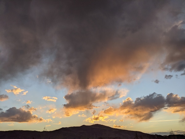
Showers possible this weekend ahead of early week drying
Thursday, August 8, 2019
A shower passed through the Steamboat Springs area early this Thursday afternoon, and another takes aim for later this afternoon. After a downturn in precipitation potential on Friday, shower chances increase again for Saturday, and possibly Sunday before drier air brings warm and sunny weather through most of the work week.
The North American Monsoon rolls on today as moisture is forced northward along the western periphery of a ridge of high pressure over the West. Showers will mostly end by this evening, though there may be a quick early morning shower to our north on Friday caused by a hard-to-discern subtropical wave that may or may not pass by.
But we should see more sun and warmer temperatures on Friday as the monsoonal moisture plume bends to the east for the day, thanks to some energy ejecting out of a storm off the Pacific Northwest coast and briefly turning our light winds westerly.
The Pacific Northwest storm will first slide south before turning east and making landfall near the California - Oregon border on Saturday. The southerly flow ahead of the storm will conspire with the ridge of high pressure to once again draw moisture over our area on Saturday. More hard-to-discern subtropical waves embedded in the southerly flow will increase the chance of showers for Saturday and Saturday evening, though the timing and position of these showers are difficult to predict at this time.
Meanwhile, a battle between the cool fall air mass from the north and the hot summer air mass from the south is fought over the northwestern quarter of the country, and summer wins as the Pacific Northwest storm to our northwest stays to our northwest. Though drier air is advertised for Sunday as the westerly flow associated with the Pacific Northwest storm re-bends the monsoonal moisture plume to the east, there is a chance of strong storms forming during the day.
There is another subtropical wave forecast for later Sunday, though weather forecast models are struggling with the track and timing. We could see good rainfall, or none at all depending on its eventual proximity.
Behind this nebulous subtropical wave, westerly flow brings much drier air first to northern Colorado on Monday and the rest of Colorado by midweek. Chances for precipitation for our area will be close to non-existent through midweek before another Pacific Northwest storm turns our winds back to the south, possibly allowing another round of monsoonal moisture to move northward. If this occurs, look for increasing shower chances as early as Thursday afternoon that extend into the following weekend.


