Last and coldest wave for tonight followed by dry weather heading into the weekend
Thursday, September 17, 2015
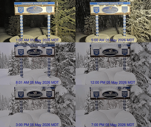
There is one more wave grazing the northern Colorado border tonight which will drag the coldest air of the season over the Steamboat Springs area . Though moisture rapidly diminishes as the wave passes, there may be enough around when the coldest air arrives overnight to produce a light dusting of snow at the highest elevations of Mt. Werner by Friday morning.
Temperatures will stay cool under mostly sunny skies Friday before the clear night brings strong cooling, leading to temperatures near or even below freezing by Saturday morning. Temperatures will begin to warm towards normal Saturday and after another cold start Sunday morning, will return to normal by Sunday afternoon and above normal by Monday. Locals will need to protect their tomato plants both mornings!
Warm and dry weather looks to last through much of Tuesday as the upper level flow backs to the southwest, with another surge of moisture forecast over Colorado during the day. There is the potential for more wet weather from Tuesday night through Wednesday as this moisture and energy pass over Colorado, with current long range models predicting a return to warm and dry after the midweek storm passes.


