Complex storm to bring snows back for the weekend
Thursday, March 3, 2022
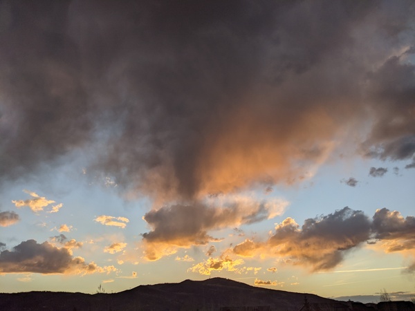
Sunshine filtered by high clouds was over the Steamboat Springs area most of this Thursday, with high temperatures reaching 47 F at the Bob Adams airport and 43 F near the top of Mt. Werner. A complex storm will bring three waves of precipitation over our area starting Friday afternoon and lasting through Monday, with the first part of the storm starting warm and the last part ending cold. Snowfall should diminish or even end at times between the waves, but the three day storm totals could be significant.
The first storm in this series is just crossing the central California coast and is warm since it is the southern part of a just-split storm from the eastern Pacific. Winds from the southwest ahead of the storm will keep our warm temperatures around for most of Friday until the storm passes overhead Friday night and winds switch to be from our favorable northwest direction. There could be some showers during Friday afternoon as energy ejects out ahead of the storm, and if precipitation reaches the ground it will likely comprise of raindrops down in the Yampa Valley and snow at the higher elevations above around 9000′.
But any liquid precipitation should turn to snow in the evening as temperatures cool, with moderate to even heavy snow showers at time overnight and into Saturday morning. I would guess 1-4” of snowfall on the 5 am mid-mountain snow report with another 2-5” during the day, most of which will likely fall by early afternoon.
Meanwhile, the second piece of the storm is currently off the coast of British Columbia and is forecast to travel southward along the West Coast before turning inland and moving across the Great Basin late Saturday and into Colorado on Sunday. There is some dry air that is currently mixing into the storm, and there is weather forecast model disagreement on whether that dry air makes it over our area. Depending on that outcome, we could see snow showers redevelop overnight Saturday or hold off until winds shift to be from the northwest behind the storm Sunday afternoon.
By later Sunday, the third and final piece of the storm will have mixed with some cold air from western Canada and will begin to interact with the preceding part of the storm as it moves toward our area. We could see some fluffier snowfall from Sunday night through Monday afternoon in the 2-5” range.
Another good-looking storm is currently being advertised for around midweek, so stay tuned to my next regularly scheduled weather narrative on Sunday afternoon where I hope to be discussing another round of significant snows.


