Nice weather ahead of more snow Wednesday
Sunday, December 12, 2021
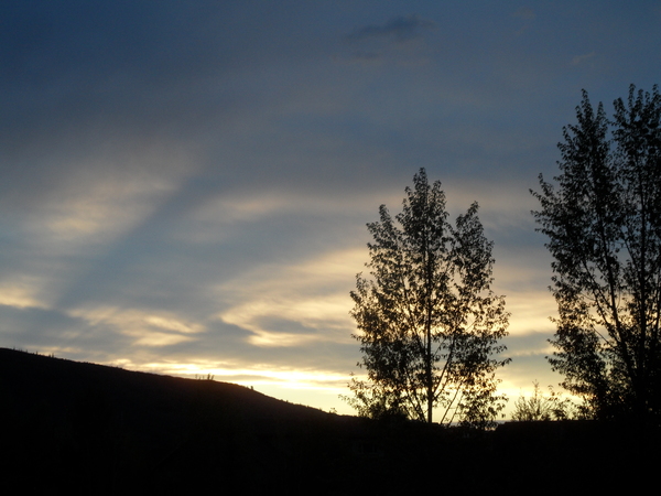
Mostly sunny skies and temperatures in the twenties, on their way to the thirties, are over the Steamboat Springs area this Sunday noon. Monday will be similar with about five degrees of warming before clouds and winds increase on Tuesday ahead of a winter storm now starting to pound the Sierras. The storm will move through our area like a freight train on Wednesday with moderate to sometimes heavy snows that will taper off through midnight. Thursday is forecast to be an in-between day ahead of a small storm forecast for Thursday night and Friday.
A large and quite-cold area of low pressure currently in the Gulf of Alaska has tapped into a warm and very wet stream of moisture originating from north of Hawaii. This so-called Pineapple Express is one example of what meteorologists call an atmospheric river due to its long fetch but relatively narrow width. While some of the mountains of California are forecast to receive multiple feet (or yards!) of snow over their three day storm, our effects will be far more modest by the time the storm gets here on Wednesday.
The storm in the Gulf of Alaska is forecast to elongate along the West Coast before the strong cold front associated with the storm makes landfall on Tuesday. Our winds will switch from the west to the southwest on Monday and increase on Tuesday as the storm approaches. It looks like the southwest winds will keep the dry air currently over our area for Monday and some of Tuesday, so Monday should be sunny and warm with high temperatures possibly breaching forty degrees.
Tuesday should start sunny, but clouds will increase later in the day as breezes from the southwest increase. Precipitation will likely hold off until midnight, but will be insignificant until just before the cold front blasts through what is currently forecast to be Wednesday morning.
Travel will likely be difficult over Rabbit Ears Pass along and just behind the cold front with blowing snow, slick roads and reduced visibility. A trailing wave timed for later Wednesday should keep lighter snows going until midnight, and there might be 4-8” of snow by the Thursday morning mid-mountain report, with about half that in town.
We’ll see a break for at least part of Thursday before another very cold storm forecast to cross the Pacific Northwest coast on Wednesday approaches our area. Currently, weather forecast models have this storm splitting as it moves over our area on Thursday night and Friday, so snowfall is expected to be less than the midweek storm, but with far more cold air.
The coldest air is expected for Saturday morning, and the cold air over the West may be setting the stage for a prolonged period of unsettled weather as we head into Christmas week. So stay tuned to my next regularly scheduled weather narrative on Thursday afternoon where I’ll discuss the end of week storm, the weather for the following weekend and what weather might follow.


