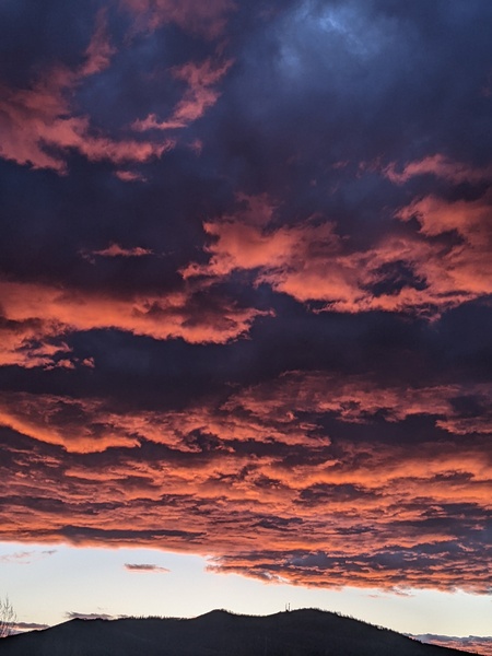
Unsettled weather returns after a gorgeous weekend
Sunday, November 7, 2021
Temperatures reached the mid-sixties by mid-afternoon on this Sunday, same as yesterday. The unseasonably warm weather with high temperatures almost twenty degrees above our average of 47 F looks to go away for the upcoming work week as the weather turns unsettled and snow returns to the weather forecast by midweek.
A ridge of high pressure is currently sitting over our region while a persistent area of low pressure extends from the Gulf of Alaska westward to the Bering Sea. A chunk of cold air has broken away from the North Pole and will be incorporated into the persistent low pressure area, eventually forming a storm in the Gulf of Alaska that is forecast to make landfall along the Vancouver coast early on Tuesday.
A wave of energy ejecting out of the developing storm will pass near our area on Monday, so expect increasing clouds with a small chance of rain showers in the afternoon and overnight, along with high temperatures in the fifties.
The parent storm is expected to split along the West Coast on Tuesday as it moves inland, with breezy winds developing ahead of the southern portion of the storm which is forecast to move through the Great Basin later Tuesday, Temperatures will be similar to Monday, though increasing clouds through the day will yield a better chance of showers by later in the afternoon.
Shower chances become likely overnight Tuesday and through Wednesday as the best part of the southern part of storm passes through our area. Snow levels will descend overnight, likely reaching the Yampa Valley floor by Wednesday morning. Snow showers should continue through the day, with moderate to sometimes heavy snowfall continuing at the higher elevations under the stronger storm cells, with difficult travel at times over Rabbit Ears Pass.
The cold temperatures associated with the southern part of the storm will arrive Thursday morning after the best moisture has left the area, but we could see 5-10” of snow at and above pass between Tuesday and Wednesday nights, with some snow possible down in town, most likely on non-paved surfaces.
While Thursday will start dry, the parent storm is forecast to graze our area as it moves into the Upper Midwest and strengthens, bringing another surge of cold air and moisture later Thursday into Friday. More snowfall is likely at all elevations before a ridge of high pressure moves overhead on Friday thanks to another developing storm over the Aleutian Islands.
Stay tuned to my next regularly scheduled weather narrative on Thursday afternoon as I’ll take a guess at snowfall amounts for the last part of the storm on Thursday night, and discuss whether that ridge of high pressure sticks around for the weekend or gives way to more showery weather.
Add comment
Fill out the form below to add your own comments


