Wintry weather this week
Sunday, October 10, 2021
Temperatures are in the low forties this Sunday noon in the Steamboat Springs area as rain showers at the lower elevations and snow showers at the higher elevations taper off. We’ll see some peeks of sun between the diminishing showers later today and more sun tomorrow before the first of two wintry storms invade our area starting Tuesday. The first storm will bring cold and wet weather through Wednesday, along with several inches of snow possible on the Yampa Valley floor followed by the second wintry storm on Thursday.
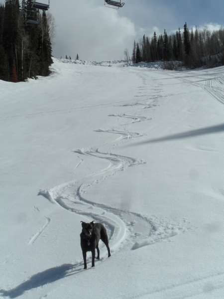
The weekend storm which began Friday afternoon produced about 2” of snow at mid-mountain, as shown by the latest Steamboat mid-mountain Powdercam, and about 4.5” up top, as shown by the Sunshine Peak Powedercam. With snow levels around 8500′, the town received between four tenths and a half inch of rainfall as of this morning, and the rain and snow showers should taper off through the day as the storm vacates the area.
Though we will see a brief reprieve to the wet weather on a mostly sunny and warmer Monday, an unseasonably cold and wet storm currently affecting the Pacific Northwest coast is forecast to cross the Great Basin on Monday and bring cold and wet weather to our area starting on Tuesday.
Most of the precipitation will be along and behind the cold front, due between noon and sunset on Tuesday, with snow at the higher elevations descending down to the valley floor by later in the day. The center of the storm is forecast to pass almost directly overhead Tuesday night, with good snowfall predicted behind the center of the storm as we see our favorable cold, wet and unstable flow from the northwest. Town will likely see its first accumulating snowfall of the season, especially on grassy surfaces, with several inches possible by Wednesday morning, and around 4-8” of snowfall up top.
Travel over Rabbit Ears Pass may be difficult at times from Tuesday afternoon through Wednesday morning as the storm barrels through our area. Showers will taper off during the day Wednesday at the lower elevations, though may persist through sunset at the higher elevations.
But they will begin again by Thursday morning as another storm is forecast to push through during the day. This one will not be as strong as the early week one, but will still be cold and bring more snow showers, with further accumulations very likely at the higher elevations but more uncertain at the valley floor.
High temperatures are forecast to dive to the low forties on Tuesday and fall even further to the upper thirties on Wednesday and Thursday, which is over twenty degrees below our average of 61 F and closer to temperatures observed in late November rather than mid-October!
The storm is forecast to end by Friday morning, with drying and warming headed into next weekend. Enjoy the storm, and I’ll have a recap of the snow amounts in my next regularly scheduled weather narrative on Thursday afternoon, and discuss whether a nice weekend is still in the forecast.


