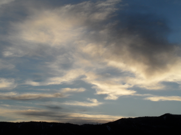
Shower chances decrease midweek ahead of Independence Day
Sunday, June 30, 2019
A seasonably warm and sunny Sunday morning in Steamboat Springs will give way to the chance of afternoon and evening showers today through Tuesday. Drier air moves in midweek in time for Independence Day on Thursday and will stick around through the long holiday weekend.
Southwest flow ahead of a disturbance off the Pacific Northwest coast has allowed the remnants of former hurricane Alvin to move across the Desert Southwest yesterday and towards our area today. We should see a good chance of afternoon and evening showers as the once-tropical disturbance moves just to our northwest today.
Meanwhile, more incoming Pacific energy and cold air from western Canada will continue to mix with the Pacific Northwest disturbance, keeping it spinning off the coast early in the work week. Combined with a ridge of high pressure building northwestward from the south-central U.S., our area will see relatively moist southwesterly to southerly flow that will keep the threat of afternoon and evening storms going on Monday and Tuesday, with Monday likely the driest of the three day period.
The Pacific Northwest disturbance is then forecast to move eastward midweek, and our winds will turn to be more from the west as the air mass dries. Several weak cool fronts will be on our doorstep during the second half of the workweek, but summer will win this the battle and keep most of the cool air and almost all of the precipitation to our north. So mostly sunny skies and seasonable temperatures around or up to five or so degrees above our average of 79 F are expected starting Wednesday and continuing into the long Fourth of July holiday weekend.


