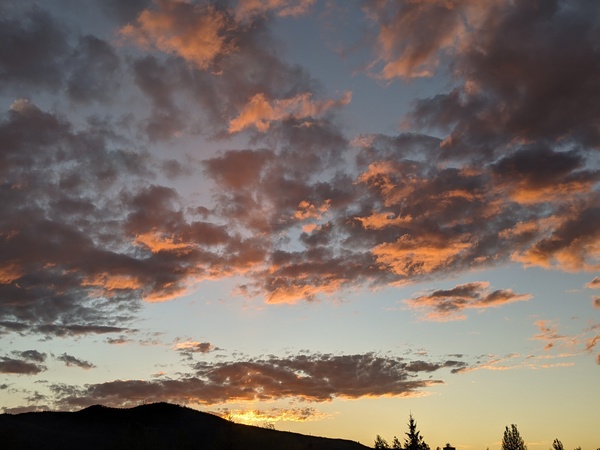
Steamboat Springs area weather forecast from Monday
Monday, June 6, 2016
There will still be a small threat of afternoon storms on Tuesday, though less than on Monday, as a weak Pacific wave, currently in Nevada as of Monday afternoon, moves some dry air over our area as it travels eastward across the Great Basin.
This weak wave weakens further as it interacts with the dominant western ridge, and due to its dry nature, it affects on our area will be minimal as it loiters in Colorado for a few days.
By Wednesday and through the first part of the weekend, the ridge rebuilds and temperatures will continue to increase to their warmest readings of the year, though there will still be a chance of afternoon storms, some possibly strong, as southwest flow increases ahead of a much stronger Pacific storm forecast to cross the West Coast around Saturday.
The Pacific storm is now forecast to split on Sunday, with most of the energy staying to our northwest as in previous forecasts, but some of the energy moving across Arizona and New Mexico by early in the next work week. Due to the dry nature of the southern part of the split, the chance of afternoon storms will be reduced starting Sunday and lasting into the next work week.
If you’ve made it this far, my future blog posts will be returning to a less frequent publishing schedule. I’ve been publishing daily since mid-January hoping to increase viewership and revenue from the ads on my site, but I am no longer able to spend as much as the hour a day it took to produce these forecasts with the meager revenue the ads are producing. At this point, I am thinking an early-week blog around Monday to let readers plan for the week, and a late-week blog around Thursday or Friday for the weekend.
Feel free to post comments if you have thoughts about this change. Or if you would like to advertise on my site.


