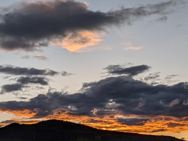
Steamboat Springs area short term weather forecast from Thursday night
Thursday, March 3, 2016
The western ridge will hold sway over our area through Saturday, with unseasonably warm temperatures persisting even as upper and mid-level moisture moves through the ridge and brings periods of clouds, especially on the mountain. There may even be a stray snow shower on Friday on the hill as that is when the moisture will be deepest.
A parent low in the Gulf of Alaska will eject a leading wave Saturday night that will cross the West Coast early Sunday and bring storm clouds to our area around Sunday morning. Current forecast have precipitation starting by Sunday afternoon, with snow showers on the hill and rain showers in the valleys.
Precipitation will turn to all snow by Sunday night and likely last through mid-day Monday before the storm moves to our northeast.


