Storm train to start midweek
Sunday, November 15, 2026






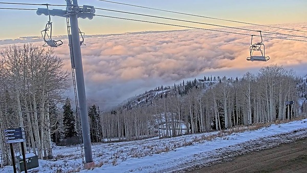
Skies have cleared over Steamboat Springs late on this Sunday afternoon after 3” of snow fell at the top of the Steamboat Ski Resort and between one and two tenths of an inch of rain fell in town overnight. A couple of nice days will start the workweek before the first in a series of storms brings modest snowfall to all elevations by Wednesday. A short break on Thursday will herald the cavalry’s arrival on Friday, with a promising storm bringing significant snowfall just in time for Opening Day on Saturday.
Behind last night’s quick-moving storm, a transient ridge of high pressure will build over the West ahead of a series of storms developing in the Gulf of Alaska. After reaching 50 degrees today, above our 43-degree average, even warmer temperatures in the mid-to-upper 50s are forecast for Monday and Tuesday.
That will end our extended warm stretch this fall, as the first in a series of storms brings increasing clouds on Tuesday afternoon and a cold front Tuesday night. The storm will weaken as it moves across the Great Basin and pushes the ridge eastward, with snow levels falling to the Yampa Valley bottom overnight. We could see as much as an inch or two of snow in town by Wednesday afternoon, and 2-5” on the hill.
A much stronger, colder, and wetter storm now moving across the Aleutian Islands will mix with cold air moving south across the Bering Sea and Alaska, eventually forming an eddy and approaching the West Coast by midweek.
A very active jet stream across the Pacific will keep the eddy moving across the Great Basin, crossing California on Thursday and approaching our area on Friday. Early forecasts have the snow starting by midday Friday and continuing through the night, just in time for Steamboat’s scheduled Opening Day on Saturday. My preliminary estimate is 6-12” by Saturday morning, especially since we see the favorable cool, moist, and unstable northwest flow behind the late-Friday cold front. However, that ultimately depends on the storm’s track and evolution.
The good news looks to continue, with another small storm after the weekend, followed by a very active and favorable weather pattern that looks to start just before Thanksgiving.
But that is getting well ahead of a viable forecast. So enjoy the last 2 days of our mild fall, with more details on the Friday storm at the Bud Werner Memorial Library this Wednesday at 6:30 pm, where I hope to show off a refreshed website, talk a little about El Niño and what it means for the Yampa Valley, and show you how to make a weather forecast. And of course, answer your burning meteorology questions! If you can’t join me then, look for the latest update in my next regularly scheduled weather narrative on Thursday afternoon.