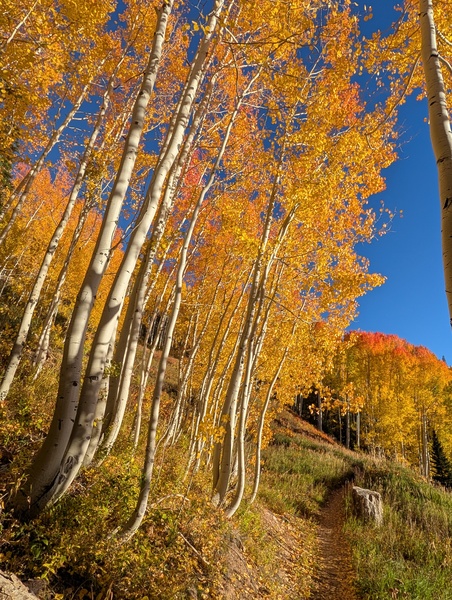
Beautiful and seasonable weekend ahead
Thursday, October 15, 2026






Temperatures have reached 50 degrees under mostly sunny skies late this Thursday afternoon in Steamboat Springs after several wet, stormy days, including significant high-elevation snowfall overnight. After a chilly Friday morning with low temperatures in the teens, the season’s coldest so far, mostly clear skies and temperatures warming into the seasonable low-60s are forecast for a beautiful weekend.
 The wet weather came from the remnants of former Hurricane Rachel, steered overhead by a cold Northern Pacific storm, which eventually brought our upper-elevation snowfall. Mid-mountain received 5” of snow from late Wednesday afternoon through this morning, with 8” recorded at the top.
Snow levels fell to 8,000′, with even some snowflakes in town late yesterday afternoon and again early this morning.
Precipitation since last Saturday was impressive, with about 0.4” during that day, 0.3” on both Monday and Tuesday, and as much as an inch yesterday, bringing about 2” of beneficial moisture, just shy of the 2.2” monthly average.
But we are drying out through the weekend and into next week as a ridge of high pressure builds and moves over the West behind the departing storm and ahead of a cold storm developing in the Gulf of Alaska. And with clearing skies behind a cold storm, expect temperatures to plummet tonight to the coldest of the season so far, reaching the teens, well below the 26-degree average.
High temperatures will warm to around our average of 59 degrees on Friday despite the cold start, and reach the low 60s for a beautiful weekend under mostly sunny skies. Low temperatures will also rise into the mid-to-upper 20s on Saturday morning and the low 30s on Sunday morning.
The beautiful weather will extend into the next workweek as the intensifying Gulf of Alaska storm is deflected to our north by the western ridge of high pressure. However, the remnants of former Typhoon Koguma, now south of the Aleutian Islands and expected to ingest cold air traveling south across Alaska, are forecast to form another elongated trough of low pressure off the West Coast by Tuesday, similar to this past storm.
Longer-range weather forecast models have the southern part of the storm forming an eddy around California, traversing the Great Basin through midweek, and possibly affecting our area just after midweek. So enjoy the gorgeous weekend ahead, and I’ll have more details about the incoming storm in my next regularly scheduled weather narrative on Sunday afternoon.