Wet start to the workweek
Sunday, September 27, 2026






Temperatures are in the comfortable low 70s with mostly sunny skies this Sunday at noon in Steamboat Springs. An approaching complex storm will start the workweek with wet, cool weather, though it is not yet clear how cold it will be, or whether showers stick around through midweek. Warmer, drier weather will end the workweek and is forecast to last through at least next weekend.
 A trough of low pressure approaching the West Coast has split, a recent development since my Thursday weather narrative, weakening and warming the storm. While former hurricane and now Tropical Storm Odalys has injected moisture into the southwest winds ahead of the trough as forecast, the further-south track has created more opportunity for Hurricane Polo, forecast to cross the southern Baja Peninsula on Monday, to interact with the former Gulf of Alaska storm on Tuesday.
While we will still see increasing clouds later today and a small chance of showers through the night, better moisture is ahead of and behind a cool front arriving during the day Monday. Showers become likely with high temperatures mired in the low-60s, below our 68-degree average.
However, the split storm now means warmer temperatures, making snowflakes at the top of the Steamboat Ski Resort unlikely.
More wet weather is possible Tuesday, with mid-60-degree high temperatures, as the trough and storm Polo interact over the Desert Southwest and likely merge in some way. A merger further south, favored by the European ECMWF, may reduce shower chances compared to the American weather forecast models.
Our Wednesday weather will heavily depend on this merger, with the position and track of the merged storm uncertain. The latest American NAM, a forecast running out to 3 days, now has the merged storm moving across southern Colorado during the day, a big change from its earlier forecast, resulting in possibly heavy rain for southern Colorado and even our area depending on its northern reach.
Whether the shower chances extend into Thursday depends entirely on the track and speed of the merged storm, with the latest European model now forecasting a slower storm for a showery Thursday.
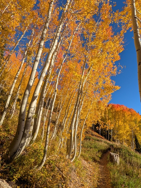
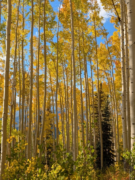
The weather forecast models agree the merged storm will finally move east of the Divide by the end of the workweek, bringing dry and warm weather with temperatures back to the low-70s that looks to extend through next weekend. So get out and enjoy the changing fall colors today, peaking at and above 9,000′ as indicated by the photo I captured from the Steamboat Ski Resort on Saturday. I’ll have more details about next weekend in my next regularly scheduled weather narrative on Thursday afternoon.