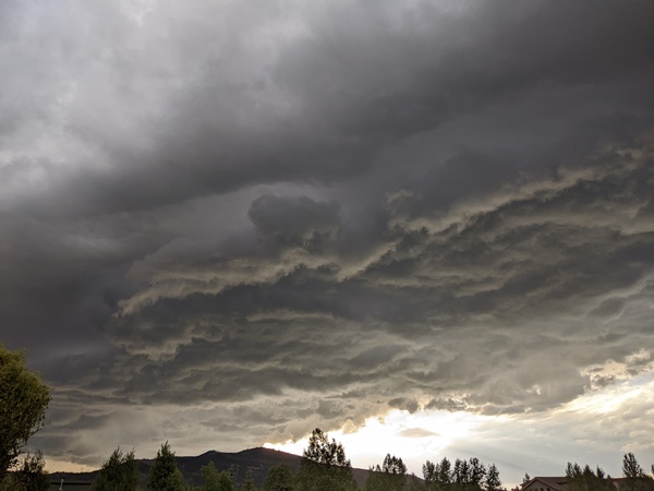
Storm winds down tonight and is followed by unsettled weather
Thursday, May 18, 2017
A large, powerful and slow-moving late-season winter storm that is currently spinning over the central Rockies has brought close to a foot of snow to the Steamboat Springs area so far. Light to sometimes moderate snowfall is forecast to continue through this evening before tapering off after midnight.
The slow movement of the storm means that we will still be in the cold, moist and unstable northwest quadrant of the storm through tomorrow, leading to showers, moderate to heavy at times, through the day Friday. Some additional snowfall accumulations above the valley bottom are likely.
Only light showers may be possible for Saturday in still below normal temperatures as northwest flow keeps the cool temperatures around. Concurrently, a wave of energy from the Pacific phases with some cool air from western Canada before splitting just upstream of our area by Saturday night. There will be enough moisture and instability to bring a good chance of storms later Sunday lasting into the evening.
A stronger wave of energy moves southward from western Canada on Monday and phases with some energy from the current storm which by then is forecast to be over the Great Lakes. This will keep the cool unsettled around for Monday with another chance of showers and storms throughout the day.
A last wave is forecast for late Monday night or early Tuesday, with showers ending early in the day before drier air overspreads the area in still cool, though warmer, temperatures.
A transitory ridge is advertised to be over the central Rockies by both the American GFS and European ECMWF for Wednesday and Thursday, bringing much warmer temperatures and sunny skies to the region. There is very considerable model disagreement for the end of the week as another storm approaches the Pacific Northwest coast. The European ECMWF phases this with cool western Canadian air and digs the storm toward the Great Basin while the American GFS keeps the storm moving north of the central Rockies. The end result is opposite forecasts for Memorial Day weekend, with the ECMWF forecasting a trough over our area while the MRF forecasts a ridge.


