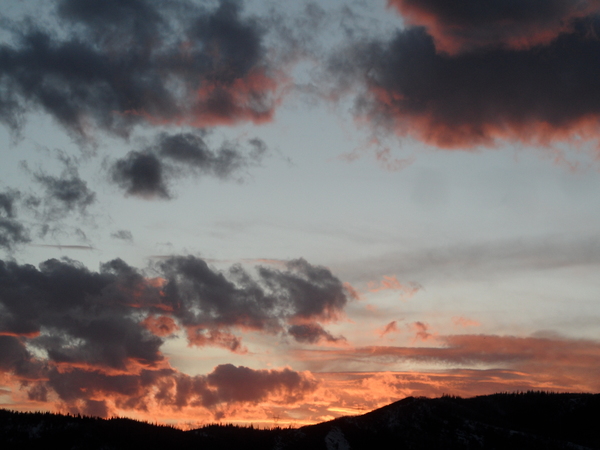
Clearing weather for Tuesday and Wednesday ahead of the next storm
Monday, May 22, 2017
The slow-moving storm that started affecting the Steamboat Springs area last Wednesday is currently spinning north of the Great Lakes. A couple more waves of energy will move southward along the western periphery of the large storm bringing reinforcing surges of cold air and more precipitation across our region today and tonight.
Showers will increase again around mid-afternoon and become heavy at times during the late afternoon and early evening. While the bulk of the precipitation will be rain in the valley with more accumulating snows above 8000′ or 9000′, there may be enough cold air for some non-accumulating snow at the lower elevations later in the evening when the last wave of energy moves over the area.
Precipitation should end by midnight followed by some much-welcomed clearing for Tuesday and Wednesday. Temperatures will still be below normal on Tuesday, but warming on Wednesday should bring a classic sunny late-spring day with pleasant temperatures.
Meanwhile, another strong storm is forecast to travel across the Gulf of Alaska tomorrow and mix with more cold air from western Canada as it moves eastward. By Wednesday, the storm will undergo a modest split, with the northern portion moving across the Canadian border and the southern portion elongating across the northern Great Basin as additional energy moves southward from Canada.
The end result will be another prolonged period of unsettled weather likely lasting through at least some of the Memorial Day weekend, as earlier suggested by the European ECMWF and discussed in the last forecast. Periods of heavier showers will occur as a couple of waves of energy move through the Great Basin, followed by partial clearing behind each wave and the usual afternoon showers.
The timing of the waves will almost certainly change by my next forecast on Thursday, but right now the heaviest showers are likely to occur during the day Thursday and again later on Saturday. The periods of heaviest precipitation will also be influenced by quick moving waves of energy from a decaying storm system off the southern California coast, and these may or may not phase with energy from the north.
Lastly, in order to thoroughly complicate the prognostication, the European ECMWF has just forecast a faster eastward movement of the storm, bringing drier and warmer weather for the latter half of the long weekend while the American GFS still holds on to the cool and unsettled weather through Memorial Day.


