Hot temperatures to persist as the heart of summer arrives
Sunday, July 13, 2025
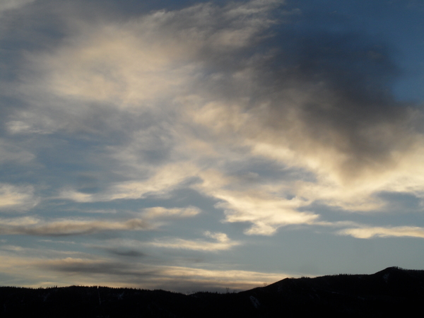
Temperatures are at eighty-five degrees, headed to the upper eighties, under mostly sunny skies this Sunday mid-afternoon in Steamboat Springs. The heart of summer arrives Monday and lasts into the first weekend of August, with the warmest average high temperature of the year reaching eighty-four degrees. The forecast high temperatures this week will not disappoint, despite a weak cool front arriving by Wednesday and cooling high temperatures by several degrees. Modest moisture associated with the front will result in limited shower chances from later Tuesday through Wednesday, with additional shower chances possibly arriving for the weekend.
A ridge of high pressure is centered over the Desert Southwest while a weak storm is moving southward along the British Columbia coast. The storm and some associated energy moving along its southern end will be deflected eastward by the ridge, bringing some Pacific moisture into our area starting later Tuesday, and several degrees of cooling on Wednesday.
The limited moisture and dry lower atmosphere mean any storm that develops will likely produce more wind than rain as precipitation evaporates in the dry subcloud layer. Storm chances decrease on Thursday before increasing again by Friday as a ridge of high pressure begins to build over the Southeast and elongate westward. This is a favorable pattern for the tardy North American Monsoon as moisture begins to rotate northward toward our area by Friday in the clockwise flow around the Southeast ridge.
We have been spared the smoke from several widlfires burning in north-central New Mexico and Arizona, including the White Sage fire north of the Grand Canyon, ignited by lightning last Wednesday. So far, the smoke has been trapped underneath the Desert Southwest ridge, but southwest winds ahead of the approaching cool front may transport some smoke into our area by Monday afternoon, according to the latest NOAA Smoke Plume model.
The smoke should clear as winds shift to be from the west and northwest on Tuesday and Wednesday, but may return later in the week if southerly flow associated with the monsoon is established. Let’s hope we can eke out some rain from later Tuesday through Wednesday, and I’ll have the latest details on the developing monsoon in my next regularly scheduled weather narrative on Thursday afternoon.


