Nice days Friday and Sunday will bookend some unsettled weather on Saturday

Thursday, November 14, 2024
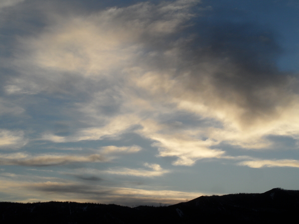
A lovely day is over the Steamboat Springs area this Thursday mid-afternoon with sunny skies and temperatures near fifty degrees. Even warmer temperatures are forecast for Friday along with increasing winds from the southwest ahead of a cold front Friday night. Unsettled weather with minor snow accumulations on the hill will follow through Saturday night before the sun returns on a cool Sunday.
The snow forecast from last Sunday’s weather narrative was too optimistic as we saw only a half inch in town and two inches at mid-mountain at the Steamboat Ski Resort. The front came through around 5 pm Tuesday with a promising round of snow, but the forecast cool, moist and unstable northwest flow promised by even by the short-range weather forecast model ended up not nearly moist enough to sustain snowfall through the night. It’s always a bad sign when the moon appears soon after the front passes!
But we have a beautiful warm and sunny day today ahead of the next storm along the West Coast. It is forecast to move across Nevada on Friday and split, with the southern part forming an eddy of low pressure over southern Arizona by Sunday and the northern part dragging a cold front through our area Friday night.
Winds from the southwest ahead of the storm will bring even warmer temperatures on Friday, almost ten degrees above our average of 43 F. Moisture will increase as the front approaches with snow showers possible after midnight Friday. Winds will turn to be from the west behind the front, with snow showers possible during the day and into Saturday night, though accumulations are expected to be sparse with less than an inch in town and up to several inches on the hill. Be prepared for a raw day on Saturday with breezy winds and high temperatures only in the thirties.
Meanwhile, our next storm east of Kamchatka is forecast to ingest some cold Alaskan air as it moves into the Gulf of Alaska on Saturday and crosses the Pacific Northwest Coast Sunday night. We should see a mostly sunny Sunday ahead of that storm with continued below-average temperatures a degree or two warmer than Saturday.
Clouds will increase Monday as the storm approaches with snow showers breaking out as early as Monday afternoon. Colder air and continuing snow showers are forecast for Tuesday with clearing advertised for Wednesday. Though forecast snow amounts are modest at this time, that can certainly change, so be sure to check back to my next regularly scheduled weather narrative on Sunday afternoon for the latest details.


