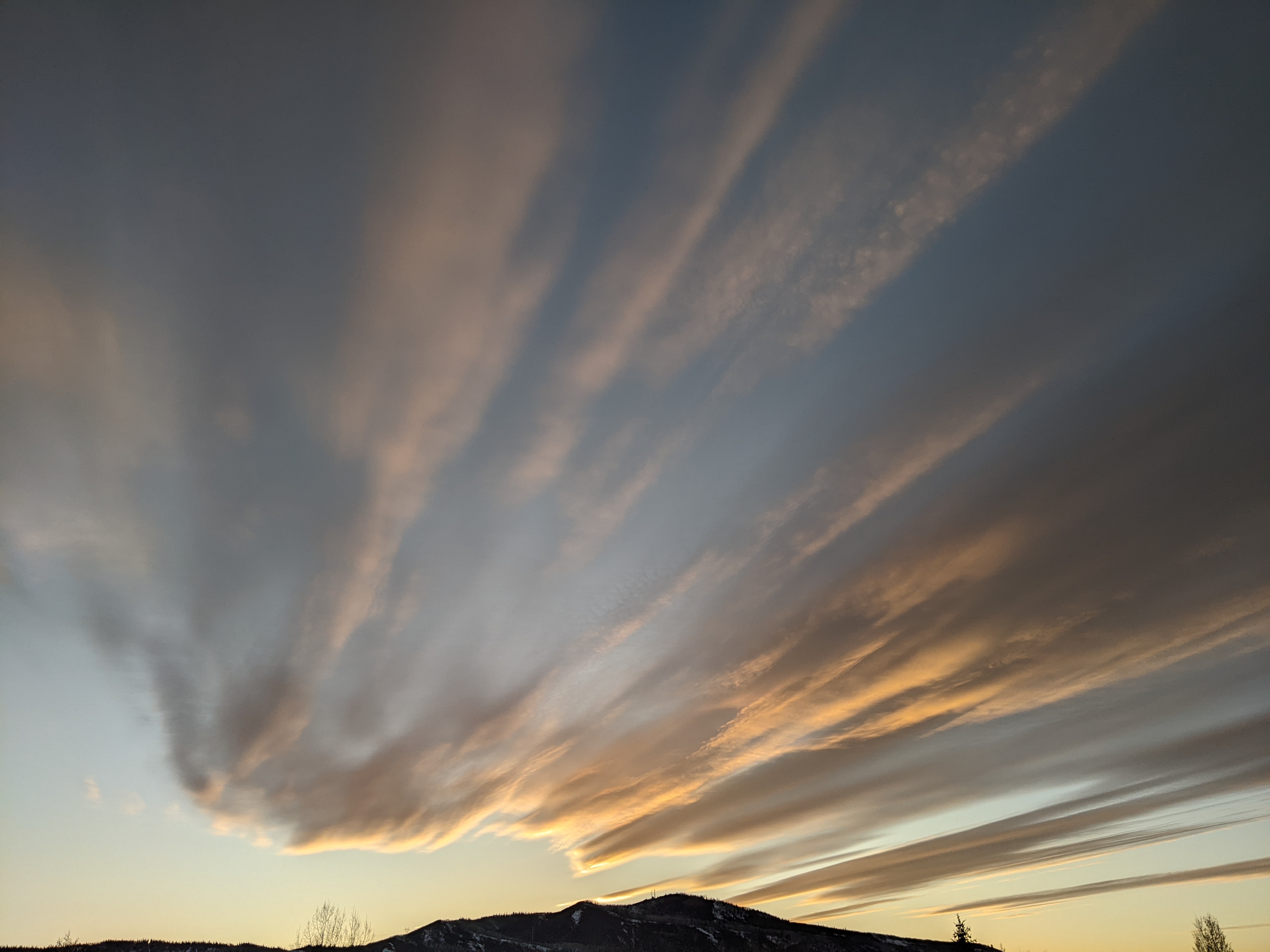
Spring weather to retreat ahead of wintry weather by Sunday
Thursday, March 21, 2024
Temperatures are in the upper thirties in Steamboat Springs and upper twenties near the top of the Steamboat Resort under sunny skies late this Thursday morning. The recent spring weather will slowly retreat through Saturday as temperatures stay warm and shower chances return ahead of wintry weather starting by Saturday night and lasting into and possibly through the following work week.
A strong wintry storm currently extends southward from the Gulf of Alaska while the ridge of high pressure responsible for our gorgeous spring weather is over most of the West. A quick-moving wave of energy and moisture ejected from the storm earlier has mixed with some cold air from western Canada and is forecast to graze northern Colorado tonight.
While Montana will see the brunt of the snowfall, we will see winds picking up ahead of the grazing disturbance this afternoon. The cool front will be too late in the day to affect the near fifty-degree high temperatures in town today, just above our average of 47 F, but will bring the possibility of rain showers in town and snow showers on the hill tonight, with minimal accumulations expected.
We should see one more day of the sun on Friday as a ridge of high pressure briefly rebuilds over our area ahead of the advancing Gulf of Alaska storm, with temperatures a few degrees below today. But clouds will invade our area later in the day thanks to increasing moisture with even a shower possible from Friday night into Saturday morning.
Meanwhile, the Gulf of Alaska storm will have crossed the West Coast and will begin incorporating some cold air from western Canada that will continue into the following work week. Clouds may decrease for a short time Saturday around noon before increasing in earnest later in the day as the leading edge of the storm approaches and showers become possible, with temperatures staying similar to Friday.
Showers should turn moderate to sometimes heavy by Saturday night on the hill with rain showers turning to a rain-snow mix in town. A strong cold front early on Sunday should turn precipitation to snow in town and keep the snow showers going through the day. High temperatures will crash into the thirties in town and near twenty degrees at the top of the hill. While the town will see only minor accumulations, I would expect 2-5” of snow at mid-mountain by the Sunday morning ski report and an additional 2-5” during the day.
Showers should decrease on Sunday night and Monday, though they may not stop as additional cold air dropping into the backside of the storm keeps moisture and instability overhead. The wintry weather looks to continue through the work week as additional periods for accumulating snowfall are advertised for Wednesday and Thursday.
Enjoy the sunny and warm weather we have left, and be sure to check back to my next regularly scheduled weather narrative on Sunday afternoon for more details on the wintry weather for the last week of March.


