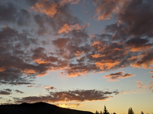
A mix of sun and clouds through midweek
Sunday, February 11, 2024
After another three inches of snow fell at the Steamboat Ski Resort by the Sunday morning mid mountain ski report, and an additional inch and a half fell since the report, partly sunny skies are over the Steamboat Springs area late this morning with temperatures around twenty degrees. A mix of sun and clouds and possibly some snow showers are in the weather forecast through midweek ahead of a possible pattern change that could bring significant snows back to our area by the end of the work week.
The last storm of this storm cycle which started late last Wednesday and brought 19” to mid mountain through this morning is currently moving across the Texas Panhandle. Partly sunny skies and cool temperatures will be over our area through Monday, with the high temperature only reaching the mid twenties in town, which is over five degrees below our average of 33 F. If skies can clear before sunrise Monday, low temperatures will fall to around five degrees below our average of 7 F, with likely subzero temperatures in the favored low lying areas of the Yampa Valley.
Warm air ahead of a storm developing south of the Aleutian Islands is forecast to build a ridge of high pressure extending from the Gulf of Alaska northwards through Alaska through the work week. Temperatures will rise toward average by Tuesday and stay there through midweek as winds from the northwest bring weak waves of energy and moisture over our area from later Monday into Tuesday and again Wednesday.
We should see periods of sun between these waves, most likely this afternoon, Monday morning and Tuesday afternoon, with a chance for some snow showers centered between these periods tonight, Monday night and Wednesday. Similar to this morning, any of these showers could leave some minor accumulations.
Major uncertainty emerges by Thursday as weather forecast models agree that the southern end of the Aleutian storm forms an eddy that travels underneath the ridge of high pressure over Alaska and eventually through the Gulf of Alaska, perhaps incorporating subtropical moisture in another atmospheric river event. They also agree that a separate wave of energy and moisture ahead of the storm will travel over the ridge and move south across the interior of British Columbia.
However, there is considerable disagreement on how these pieces interact and how far south the eddy eventually crosses the West Coast. The American GFS has a quicker moving storm staying more to our north starting Thursday and ending Friday while the European ECMWF has a far more substantial and further south event not ending until Saturday.
So enjoy the seasonable start to the work week, and be sure to check back to my next regularly scheduled weather narrative on Thursday afternoon for a more detailed look at the weather for the long Presidents Day weekend.


