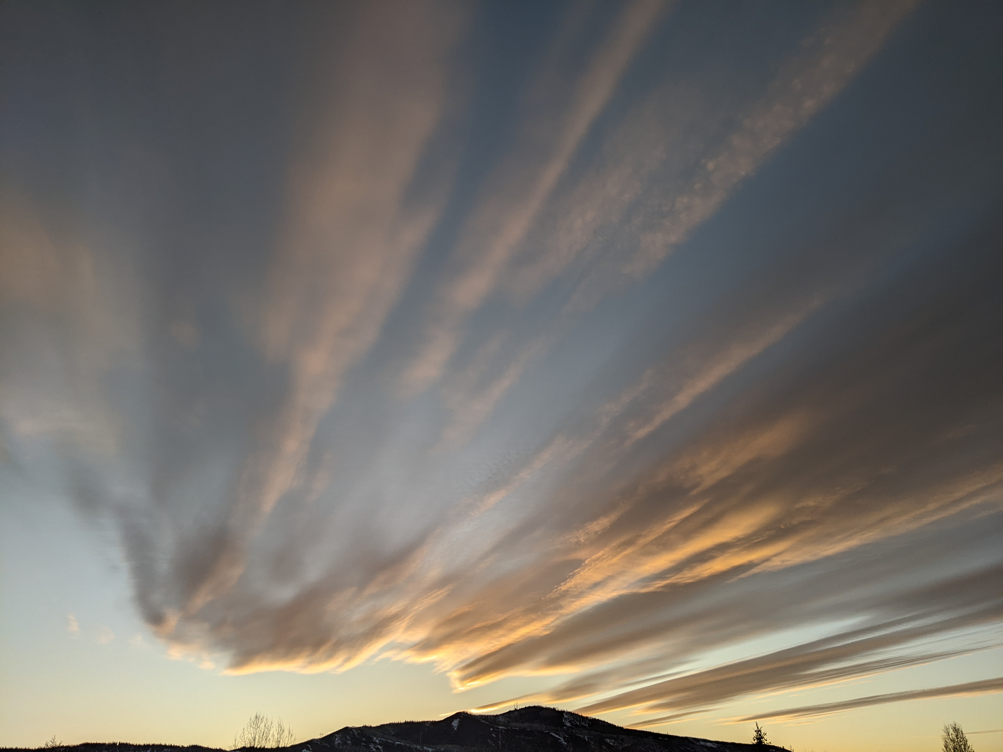
Some hope for unsettled weather after midweek
Sunday, December 17, 2023
Temperatures are approaching twenty degrees in Steamboat Springs under brilliant sunny skies this Sunday noon. Some clouds will begin passing overhead tomorrow and may moderate the single digit low temperatures over this past weekend, but there is no hope for precipitation until after midweek when an unsettled weather pattern may begin.
A ridge of high pressure currently sitting over the West is bookended by a deep trough of low pressure beginning to affect the entire East Coast and an eddy of low pressure off the coast of California. Our low and high temperatures have been five to ten degrees colder than I forecast last Thursday as a stubborn temperature inversion sits over the Yampa Valley. A temperatures inversion occurs when temperature increases with elevation, thanks in our case to cold air pooling in the valleys, and is maintained by low sun angle, snow cover, light winds and clear nighttime skies.
The jet stream is also very strong between a couple of storms that currently sit over the Bering Sea and eastern Siberia. A piece of the Bering Sea storm is forecast to mix with some cold air moving through the Bering Strait and head south to dislodge the California eddy before taking its place as another eddy.
While the first eddy is forecast to move over the Pacific Northwest on Tuesday, after another mostly sunny Monday we may see some clouds skirting its southern end by Monday night that will raise our low temperatures back above our average of 6 F by Tuesday morning. And our high temperatures should reach between five and ten degrees above our 29 F average starting Monday afternoon.
Energy ejecting out of the replacement eddy will then keep passing clouds overhead for Tuesday with better cloud coverage for Wednesday. By Thursday, a piece of the Siberian storm that broke away earlier in the week is forecast to approach the eddy off the California coast and dislodge it by Friday. A piece of energy is forecast to eject from the eddy ahead of that and may bring a chance of snow showers as it passes overhead during the day Thursday, with meager accumulations at best.
Weather forecast models agree that the Siberian storm will remain distinct from the ejecting eddy early in the weekend, but are very inconsistent both between and with themselves as to how much interaction between the eddy and storm occurs over the Great Basin. Current forecasts for Christmas Eve Day vary between a dry cold front and the beginnings of a multi day storm.
Enjoy what will be a gorgeous start to the work week, and be sure to check back to my next regularly scheduled weather narrative on Thursday afternoon where I should have more clarity on the Christmas weekend weather.


