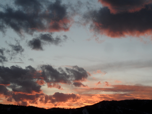
Snows to continue into the weekend
Thursday, December 7, 2023
Light snow showers with temperatures in the mid thirties are over Steamboat Springs this Thursday mid afternoon. The stronger portion of this two part storm arrives on Friday along with a cold front around noon bringing moderate to sometimes heavy snow showers that will persist through the evening before tapering off Saturday morning. While we may see some sun early Sunday, a storm may graze our area later in the day that might restart light snow showers that last into the overnight.
A cold storm from the Gulf of Alaska is on the move with the main piece of the storm currently bringing precipitation to the northern half of the West Coast. A leading piece that was ejected out of the storm earlier is grazing our area to the north, and has left about an inch at the mid mountain powdercam and almost twice that up top so far.
There may be some additional showers later today and overnight, or not, as the short term weather forecast model has the best accumulations to our north. But the main piece of the storm moves through our area on Friday along with a cold front current timed for late morning or early afternoon, and we could see 3-6” during the day and an additional 3-6” overnight for a 6-12” mid mountain Saturday morning ski report.
Temperatures are on a downtrend thanks to the cold air associated with both pieces of the storm, with high temperatures in the upper twenties on Friday and mid twenties on Saturday, which is around five degrees below our average of freezing.
If there is some clearing Saturday night as currently predicted, Sunday morning will start quite chilly with low temperatures reaching the low single digits which is around five degrees below our average of 8F.
A ridge of high pressure then tries to build over the West behind this storm system, and there is weather forecast model disagreement over a wave that moves through the ridge on Sunday and how much moisture it may contain. So there may be a chance for snow showers later Sunday and overnight, but the amounts should be only an inch or two if they occur.
There are another couple of waves moving over the West early next week, though weather forecast models disagree on whether we see snowfall chances before midweek or after. So check back to my next regularly scheduled weather narrative on Sunday afternoon where I should have more clarity about the coming work week weather.
Add comment
Fill out the form below to add your own comments


