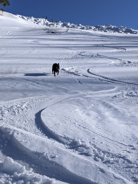
Some sun this week after the storm winds down on Monday
Sunday, December 3, 2023
Temperatures are in the upper twenties under cloudy skies late this Sunday morning in Steamboat Springs. Snows have briefly stopped but will pick up again later today and tonight as another wave in favorable and moist northwest flow moves overhead. They will become showery and taper off through Monday as the final wave in this storm cycle brushes our area and will be followed by warming temperatures and mostly sunny skies for Tuesday and Wednesday. But snow chances return for Thursday and last into the following weekend as pieces of our next storm move overhead.
Thankfully, winds peaked last night with gusts over 60 mph recorded at the Storm Peak Laboratory near the top of Mt. Werner before the anemometer froze around 3 am this morning. But the winds brought snow, with 10” reported at mid mountain on the 5 am Steamboat Ski Resort report. This is in addition to the 7” reported Saturday morning and the 2.5” reported Friday morning bringing the storm cycle total to 19.5” so far.
But we are not done yet as another significant but less windy wave of snowfall starts later today and lasts into Monday morning, bringing an additional 6-12” for the Monday morning report and about half that in town. Snowfall will taper off on Monday with another 1-4” possible on the hill as a final wave brushes the area Monday afternoon.
After the high temperature struggles to reach freezing in town today, which will be five degrees below our average of 35 F, temperatures will warm to the upper thirties on Monday despite the clouds. The sun will return on Tuesday and Wednesday as a ridge of high pressure moves over the West ahead of another storm forecast to develop in the Gulf of Alaska early in the work week. Temperatures in town should rise to around forty degrees on Tuesday and toward the mid-forties on Wednesday.
But the break in the weather will be short lived as that Gulf of Alaska weakens and moves over our area in pieces between Thursday and Saturday morning. Right now, only light snow showers are expected on Thursday ahead of the stronger piece of the storm on Friday. But the weather forecast models are still evolving, so be sure to check back to my next regularly scheduled weather narrative on Thursday afternoon where I’ll have some snowfall guesses for the possible end-of-work-week storm and more details about the weekend weather.


