Sunny and cold start to the work week
Sunday, November 26, 2023
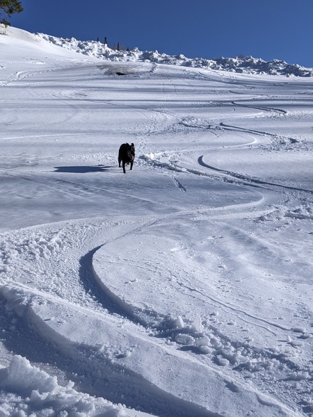
Temperatures are in the upper twenties under brilliant sunny skies early this Sunday afternoon in Steamboat Springs. After similar weather on Monday, high temperatures will warm into the upper thirties with continued sunshine on Tuesday and Wednesday ahead of a stretch of unsettled weather starting around Thursday.
A ridge of high pressure currently extends northward from the Pacific Northwest through the Canadian Rockies while a deep trough of low pressure extends from the North Pole southward through the Midwest. Behind the departing storm that left four inches at the Steamboat Ski Resort by Saturday morning, three of which fell in only a couple of hours on Friday afternoon, and an additional two and a half inches that fell yesterday through the evening, sunny skies and cold temperatures are overhead as winds carry arctic air southward between the high and low pressure systems.
Not much change to the weather is expected for Monday, with high temperatures staying around five degrees below our average of 37 F and low temperatures ten degrees below our average of 12 F under sunny skies.
A storm currently in the Gulf of Alaska is forecast to move eastward through midweek and likewise move the ridge of high pressure eastward. The storm is forecast to split with southern end of the storm forming an eddy that moves over northern California by Wednesday. The northern end will then interact with and weaken the ridge of high pressure as the ridge moves overhead on Tuesday, keeping the sunny skies around and raising high temperatures toward forty degrees.
Wednesday will start out similarly though clouds may start to encroach on the area later in the day as the eddy moves first southward across California and then eastward through the Desert Southwest. This storm will favor southern Colorado and northern New Mexico, but will be close enough to mark the beginning of a stretch of unsettled weather that may last through next weekend and into the following work week.
The unsettled weather behind the eddy will be due to a series of relatively warm storms forecast to develop between the Bering Sea and eastern Siberia next week. Light snow showers are possible as early as later Thursday as the eddy skirts to our south, with better snowfall possibly starting Friday as the first of these storms approach our area. So enjoy the beautiful weather to start the work week, and be sure to check back to my next regularly scheduled weather narrative on Thursday afternoon where I hope to be talking about how much it will snow rather than if it will snow.


