Some snow and much colder temperatures heading into Thanksgiving weekend
Thursday, November 23, 2023
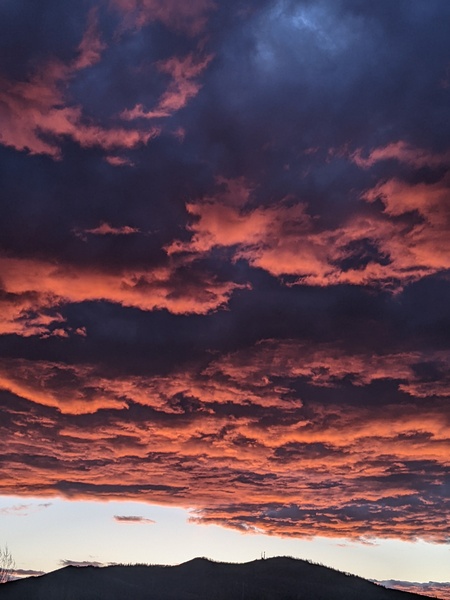
Cloudy skies with temperatures around freezing are over the Steamboat Springs area this mid Thanksgiving morning. After another mild but cloudy day with high temperatures in the mid forties, we should wake up to some snow showers on Black Friday that will become steadier through day and last into Saturday. High temperatures will fall into the upper thirties on Friday, upper twenties on Saturday and struggle to reach freezing on Sunday even as mostly sunny skies return.
A developing storm currently forming an eddy over the Nevada, Utah and Idaho borders is forecast to mix with more arctic air grabbed from the Northern Plains and strengthen before moving eastward across Utah on Friday and Colorado on Saturday.
The storm track is not favorable for our area as upper level winds will be from the southwest and mountain top winds will from the southeast as the storm approaches through Friday. The southwesterly upper level winds will keep relatively dry air originally from the Desert Southwest overhead while the southeasterly mountain top winds will also be dry as they downslope and warm off the Park Range.
So expect another mild day today with high temperatures in the mid forties under mostly cloudy skies. Eventually, upward motion associated with the approaching storm will overcome the dry air and start snow showers tonight first at the higher elevations to our north.
We should wake up to snow showers in town on Black Friday, and those should become steadier through the day as the storm moves through Utah before peaking overnight. High temperatuers on Friday will only make it into the upper thirties, right at our average of 38 F, before falling another ten degrees on Saturday.
Forecast snowfall has unfortunately trended downward over the last few days, with 2-5” expected at mid mountain by Saturday morning and an additional 1-4” through the day as the storm moves through Colorado and winds finally turn to be from the favorable northwest direction, but in a drying atmosphere. The winners look to be just to our north, perhaps over Buffalo Pass, and central and southern Colorado. It will certainly be cold enough for snow in town, with 1-3” of total accumulation possible.
Low temperatures will be in the single digits on Sunday morning, perhaps in the low single digits if skies clear, and high temperatures should warm toward freezing as sunny skies return. After another chilly Monday morning, temperatures will gradually warm through the beginning of the work week under mostly sunny skies as a ridge of high pressure builds to our west.
The nice weather may persist through most of the work week, though there are indications a stormy pattern may emerge by the following weekend. So let’s hope the current storm is an overachiever, and be sure to check back to my next regularly schedules weather narrative on Sunday afternoon for details on a possible pattern change by the end of the coming work week.


