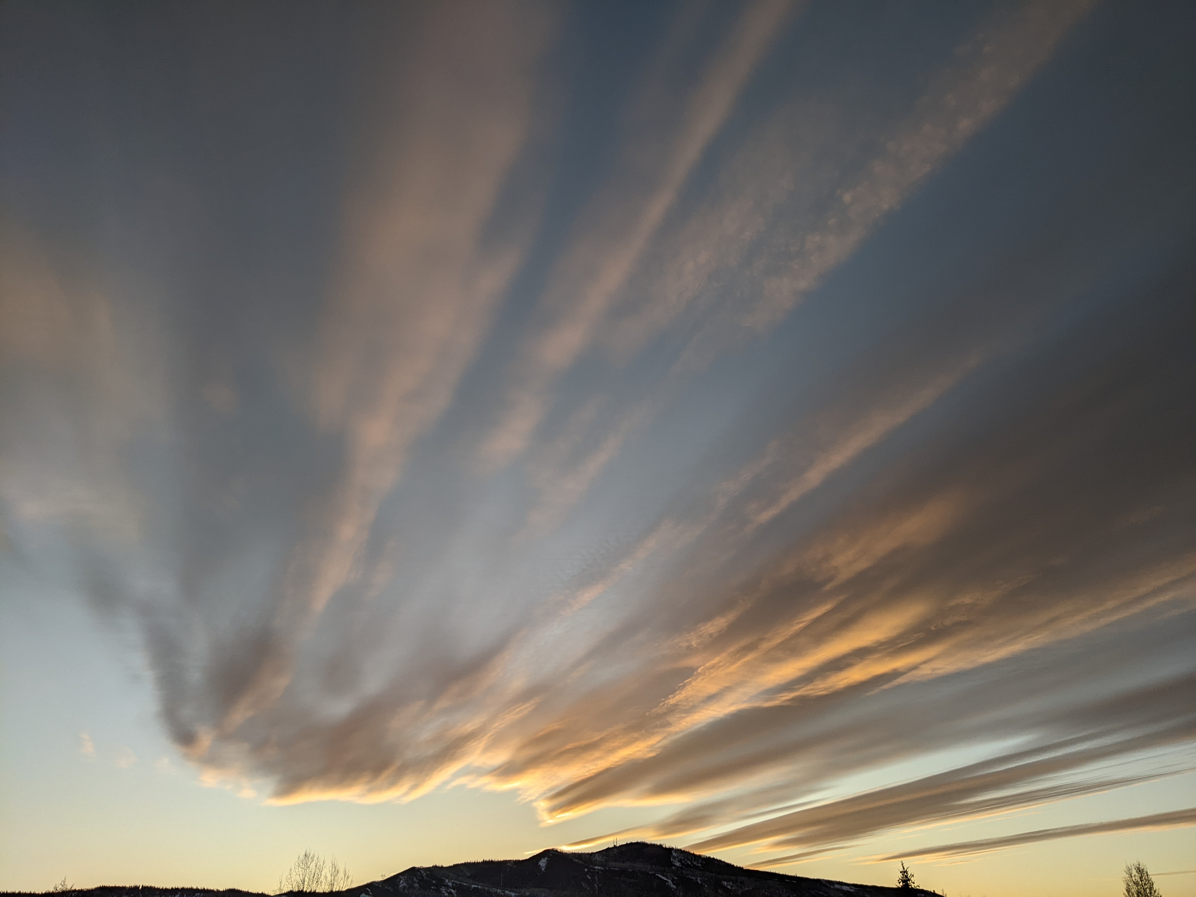
Nice weather to continue through the weekend
Thursday, October 19, 2023
Temperatures are approaching the upper sixties under brilliant sunny skies this Thursday mid afternoon. This nice weather is forecast to continue through the weekend ahead of a cooler and unsettled weather pattern starting early in the following work week.
A ridge of high pressure currently sitting over the West is sandwiched between a trough of low pressure extending south from the Gulf of Alaska and another extending south from Hudson Bay through the Midwest. Warm temperatures reaching over ten degrees above our average of 58 F will persist through the weekend, with the thermometer reaching seventy degrees on Friday and Saturday. Low temperatures will be within several degrees of freezing under the warm dome of high pressure, which is over five degrees above our average of 25 F.
The Gulf of Alaska trough is forecast to shear apart as a storm currently over the Bering Sea moves eastward, with the southern end crossing the Pacific Northwest coast on Sunday. This will force a weak low pressure area currently off the coast of southern California to move underneath the ridge of high pressure and toward our area by mid weekend. The small amount of moisture associated with this should bring afternoon and evening clouds to our area on Saturday and Sunday, with a degree or two of cooling on Saturday compared to Friday and that again on Sunday compared to Saturday.
The Pacific Northwest storm is forecast to strengthen late in the weekend thanks to a wave of cold air moving southeastward from Alaska, though there is uncertainty with respect to how much cold air is incorporated into the storm and how much continues eastward.
Right now, enough cold air is forecast to be incorporated into storm to make it form an eddy over southern California by Monday before moving across the Desert Southwest on Tuesday. While the eddy will not affect our weather early in the work week, what’s left of the wave of cold air from Alaska will bring a weak cool front through our area around Monday afternoon. This starts an unsettled weather pattern promising cooling temperatures and increasing shower chances with snow likely by week’s end.
There are a lot of moving pieces that will affect our weather next week, so get out and enjoy the beautiful weekend weather and check back for my next regularly scheduled weather narrative on Sunday afternoon for more details on the coming unsettled weather.


