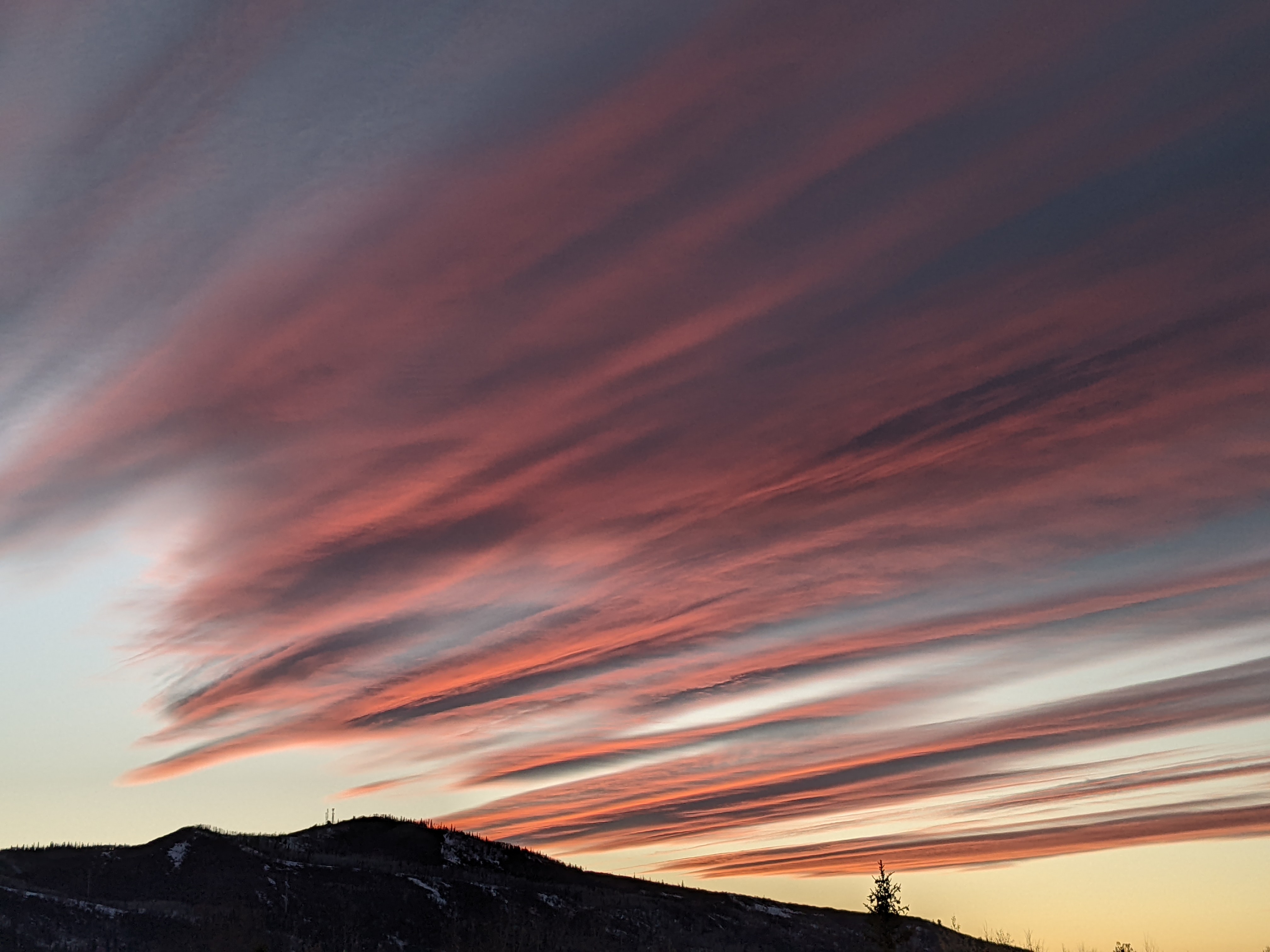
Beautiful fall week ahead
Sunday, October 15, 2023
Sunny skies with temperatures in the mid forties are over the Steamboat Springs area late this Sunday morning. Continued sunny skies will allow temperatures to warm though the work week except for a dry cool front forecast to brush our area on Wednesday.
The wintry storm centered on last Thursday brought over an inch of precipitation to town with maybe a couple of inches of snow on the non paved surfaces, with over two inches of liquid water and almost a foot of snowfall at and above Rabbit Ears Pass.
 Skies grudgingly cleared on Friday, and Saturday brought mostly sunny skies just in time for the annular eclipse Saturday morning, shown in the accompanying photo. While the spectacle was unsafe to view with the naked eye, there was no such restriction on a camera lens! Internal reflections within the lens created the artifacts apparent in the photo, with the first internal reflection showing a flipped image of the eclipsed sun and the second internal reflection showing a much fainter and properly oriented image just above.
The cold air associated with the storm will continue to modify today under continued sunny skies as a ridge of high pressure moves overhead, allowing high temperatures to reach into the upper fifties, just shy of our average of 60 F. Temperatures are headed toward the mid sixties on Monday and upper sixties on Tuesday as the ridge is forced eastward by a storm crossing the Pacific Northwest later Monday.
That storm is forecast to move across Montana on Tuesday and drag a weak and dry cool front through our area on Wednesday, with high temperatures only dropping by about five degrees into the low sixties under continued mostly sunny skies.
Another ridge of high pressure ahead of a developing storm in the Gulf of Alaska will move overhead and nudge temperatures back to the mid sixties on Thursday and to near seventy degrees on Friday to cap a beautiful work week. The nice weather currently looks to continue into and possibly through next weekend before uncertainty around the evolution of the Gulf of Alaska storm appears. Be sure to check back for details about that in my next regularly scheduled weather narrative on Thursday afternoon.


