Good shower chances starting midweek
Sunday, September 10, 2023
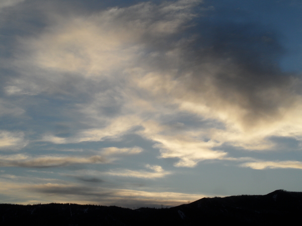
After a few raindrops fell mid morning in Steamboat Springs, skies are a mix of sun and clouds with temperatures in the low seventies early this Sunday afternoon. After some sun this afternoon, modest chances for light showers return for this evening and overnight ahead of a dry Monday. Shower chances begin increasing by later Tuesday with good chances of wetting rains starting Wednesday and lasting into Friday.
Currently, one broad area of low pressure extends from the Gulf of Alaska westward across the Bering Sea while another area extends southward from Hudson Bay southward across the Great Lakes. Additionally, former eastern Pacific hurricane Jova has weakened into a tropical storm and is located well of the coast of Baja.
Weak winds generally from the west are currently traversing the central Rockies, and have brought some moisture from Jova overhead. The moisture is forecast to hang around through tonight, bringing modest chances of light showers for later this afternoon and overnight. The winds from the west will also keep a more seasonable air mass overhead than this past week, with high temperatures today near our average of 75 F and falling a degree or two on a likely dry Monday.
But a wave of energy and moisture traveling through the low pressure area across the Gulf of Alaska from the Bering Sea is forecast to make landfall over the Pacific Northwest coast Tuesday night and move through our area later Thursday.
So look for some shower chances to possibly return as soon as later Tuesday as energy ahead of the main wave moves overhead, perhaps enhanced by mixing with some moisture that is left from Jova. There is weather forecast model disagreement on whether this moisture makes it far enough north for shower chances, though in any case high temperatures look to again reach the low seventies after a sunny start to the day.
Good chances for wetting rains start Wednesday afternoon and last into Friday afternoon, with the heaviest showers forecast for Thursday as the main wave moves overhead. High temperatures will fall into the upper sixties for all three days, and there may even be some snowflakes in the air at the top of the Steamboat Ski Resort Friday morning as low temperatures there fall into the thirties.
Weather forecast models have a ridge of high pressure building over the West behind the departing wave bringing dry weather and eventual warming temperatures through next weekend. Enjoy the dose of changeable fall-like weather this work week, and be sure to check back for my next regulalry scheduled weather narrative on Thursday afternoon for more details on the weekend weather.


