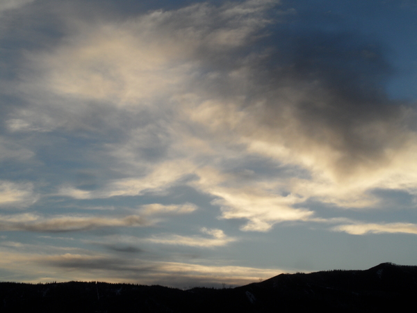
Showery weather to continue ahead and along the Labor Day cold front
Sunday, September 3, 2023
The sun is back out again over Steamboat Springs early this Sunday afternoon after a noontime shower briefly dropped temperatures about five degrees into the mid-sixties. We should see more afternoon showers today and again on Labor Day as the first cold front of the season moves though within several hours of noon tomorrow. Drier air overspreads our area behind the front leading to beautiful early fall-like weather with warm mostly sunny days and cool nights for the rest of the work week.
A storm currently over northern California is on the move and is forecast to cross the Great Basin tonight and early tomorrow, bringing a cold front through our area that is currently timed for early afternoon on Labor Day. Ahead of the storm, monsoonal moisture brought northward by clockwise rotation around the ridge of high pressure over the eastern two thirds of the country has allowed for showers since Friday, with one particularly noteworthy shower early Friday evening bringing brief high winds to downtown Steamboat Springs along with a torrential downpour that dropped almost a third of an inch of rain in under ten minutes!
Short range weather forecast models forecast another couple of rounds of afternoon showers today, though for what its worth they are currently predicting clearing in time for the closing show of the free summer concert series down at Howelsen Hill this evening. Regardless, I’d suggest bringing your Gore-Tex!
We may see some showers redevelop after midnight as the cold front approaches, with the heaviest showers forecast along the cold front which is currently timed for soon after noon on Monday. Showers may linger in the cool and unstable northwest flow behind the front, with high temperatures around seventy degrees, almost ten degrees below our average of 78 F.
A reinforcing wave of cool air is forecast for overnight Monday, keeping the similarly cool high temperatures around on a mostly sunny Tuesday and allowing low temperatures to possibly fall into the upper thirties for the first time this season, which is right around our average of 39 F.
The sun will stick around for the rest of the work week as the storm moves across the Midwest and forces the ridge of high pressure to reform overhead as it deforms around the storm. Look for high temperatures to return to near eighty degrees by Wednesday under mostly sunny skies along with cool nights with low temperatures near forty degrees.
This quintessential early fall-like weather looks to stick around into the next weekend, though moisture may make a return late in the weekend or early the next work week as Pacific energy crosses the West Coast. Be sure to check back as I’ll have more to say about that in my next regularly scheduled weather narrative on Thursday afternoon.


