Soggy start to the weekend
Thursday, June 1, 2023
Showers are moving over the Steamboat Springs area late this Thursday afternoon with temperatures only in the mid-fifties. Not much change is forecast for Friday, with slightly warmer but still cool temperatures and continued unsettled weather on tap for the rest of the weekend, and likely beyond.
A broad trough of low pressure is currently over the West with high pressure over the Great Lakes. No less than four circulation centers are currently embedded within the trough, and their eastward progress will be blocked by the building ridge of high pressure over the Great Lakes. They will instead be forced generally northward along the spine of the Rockies and back west toward the Great Basin and interact with each other in a complex and difficult to forecast dance.
In addition to the forcing from these circulation centers, moisture from the Gulf of Mexico has been drawn over our area by southerly flow behind the ridge of high pressure yielding a favorable environment for showers that may persist through the weekend. In fact, the ridge of high pressure is forecast to build toward the Arctic Circle through the weekend, creating a stagnant pattern that means unsettled weather continuing into the next work week.
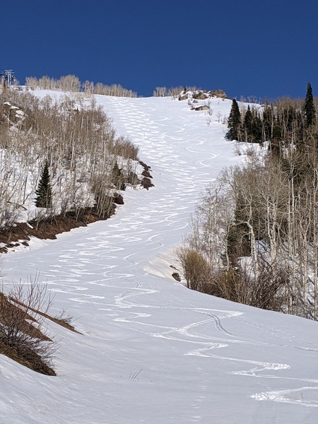
Tomorrow will likely be the coldest day of the week with high temperatures only in the fifties, fifteen degrees or so below our average of 71 F. We may wake up to rain showers along with snowflakes near the top of the Steamboat Ski Resort. But there will be some recovery on Saturday with high temperatures in the lower sixties and upper sixties by Sunday.
While Friday will almost certainly be wet, there is less certainty for Saturday and Sunday as some drier air behind the passing disturbances may move near or over our area. That will be dependent upon how far west the ridge of high pressure bulges through the weekend, with a further westward movement keeping the drier, but not dry, air to our west. Showers will take a downturn if that drier air moves overhead.
It will take until early next week for these disturbances to clear the area, but another one is currently forecast to be behind it for continued unsettled weather lasting through midweek at least. I’ll have more details about this approaching system in my next regularly scheduled weather narrative on Sunday afternoon.
Add comment
Fill out the form below to add your own comments


