Beautiful but cool weekend ahead
Thursday, March 16, 2023
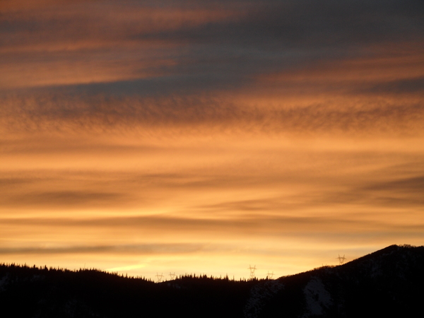
After seven inches of new snow was reported at mid-mountain at the Steamboat Ski Resort and a foot up top, mostly sunny skies with cool temperatures in the upper twenties are over the town of Steamboat Springs this Thursday mid-afternoon with low teens near the top of the hill. A very pleasant weekend with cool temperatures and continued mostly sunny skies will precede what is currently looking like another significant storm for the following work week.
The northern branch of our departing storm is currently located in the Dakotas while an area of low pressure associated with the southern branch spans from southern California to the Texas panhandle. Counter-clockwise flow around the northern branch has allowed winds from the north to carry additional cold air from the central Canadian Plains over our area, with the high temperature for today in town staying over ten degrees below our average of 42 F.
Low temperatures this weekend will be even further below our average low of 18 F, especially for Friday morning as subzero temperatures twenty to thirty degrees below average are likely thanks to fresh snow cover, light winds and clear skies.
The cool temperatures look to stick around for Friday and Saturday, though plenty of mid-March sun will help buffer the unseasonably cold temperatures. Temperatures will be warming by Sunday as a ridge of high pressure ahead of our next storm moves overhead and cuts off the flow of cold air from the north, though will still stay below average and in the thirties.
This next storm is currently located near the Aleutian Islands, and is another unseasonably cold storm thanks to its origins in Siberia and the addition of more cold air from the Arctic Circle through this past work week. Forecasts call for the southern end of this storm to be forced eastward toward the West Coast in a complex manner by another cold storm currently over Japan, and we should start seeing cloudy skies by Monday as energy begins ejecting out of the storm.
The storm will also gain moisture from the subtropics as it moves across the eastern Pacific in another atmospheric river event, and while any showers that move overhead on Monday and Tuesday will be quite light, that could change by midweek if the storm evolves as currently forecast. So enjoy the beautiful weekend weather, and be sure to check back for my next regularly scheduled weather narrative on Sunday afternoon where I’ll have more details about our next winter storm.
Add comment
Fill out the form below to add your own comments


