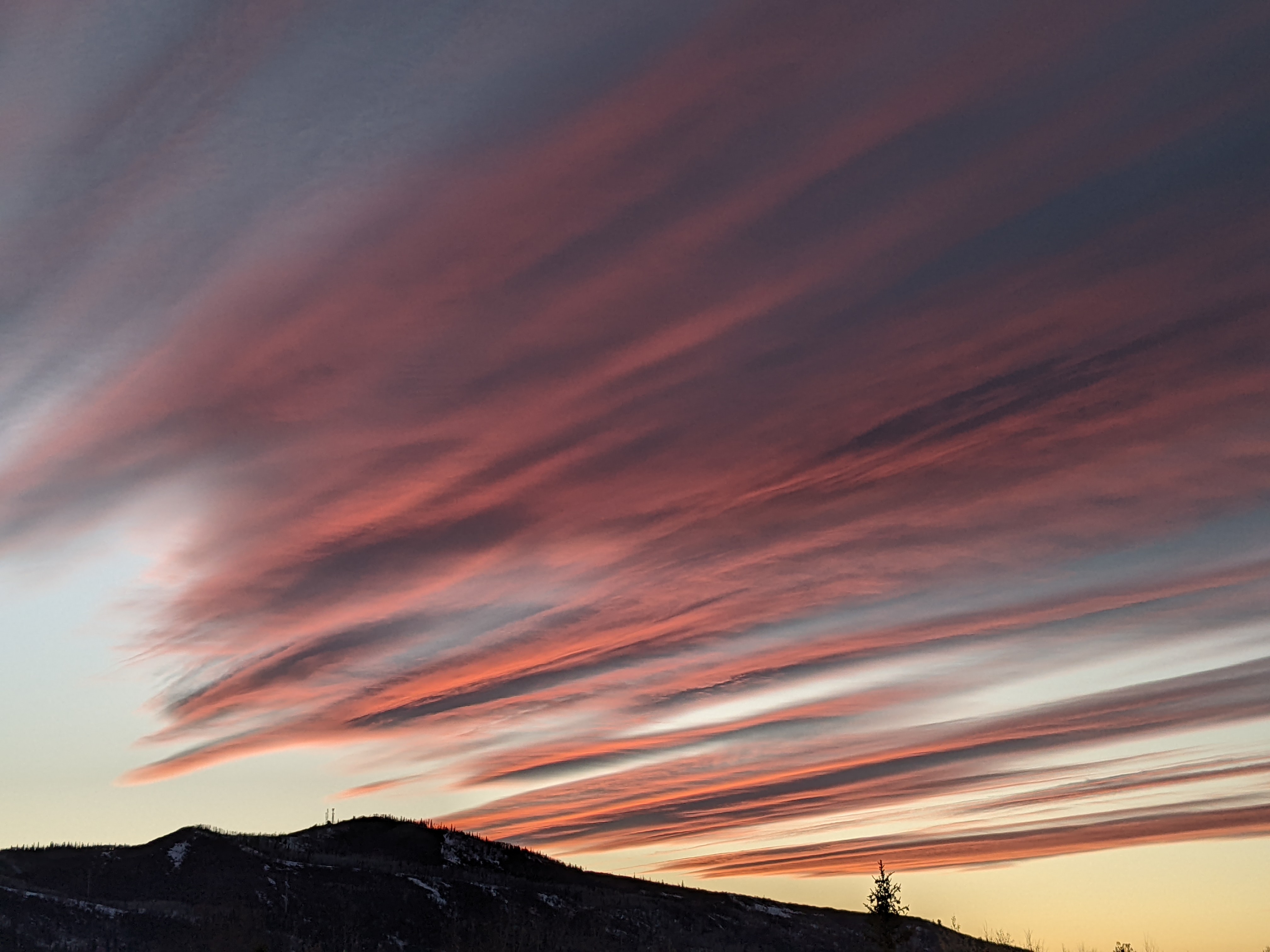
Several very nice fall days ahead of another wintry storm for Thursday
Sunday, November 6, 2022
The snow has stopped early this Sunday afternoon in Steamboat Springs with cloudy skies and temperatures around freezing. After the wintry weather that started on Thursday, look for a return to pleasant fall weather with lots of sun and temperatures approaching the mid-fifties to start the work week. But another wintry storm will bring more snowfall to our area for Thursday followed by another round of high temperatures near freezing to end the work week.
This past storm cycle started out well enough with an inch recorded at the official Steamboat Springs weather station near the high school on Thursday morning, with another five inches reported on Friday morning. However, freezing rain Saturday morning brought a 1/8” ice crust over town that I suspect made it to the top of Mt. Werner, based upon the drooping trees on the Steamboat Powedercam time-lapse accompanied by no snowfall accumulations.
The Thursday weather narrative predicted only light snowfall for this weekend, but the jet stream had other ideas as it sagged several hundred miles further south than originally forecast and brought the remnants of a Pacific stream of moisture overhead. Thanks to the shallow moisture and temperatures up top warming past 20 F, the snow production process stopped, leaving just cloud drops that were well below freezing falling through the cloud. Freezing rain resulted when they instantly froze on contact with any surface.
The same process can lead to freezing drizzle or freezing fog, which is not that uncommon for our area in the wintertime, especially near the end of a storm where the atmosphere is slowly drying, and may lead to some crust on the snow surface. However, accumulating freezing rain leading to a thick crust is uncommon, and the ugly breakable crust on the snow surface Saturday morning reminded me of the infamous Opening Day of 2014 that ruined thirty inches of cold and dry powder that had recently fallen.
 This was partially rectified when a cold front last night brought another 5” of snow to mid-mountain by 5 am and an additional 2” by 8 am, as measured by the resident moose stopping by to nibble on some shrubbery at that time.
Meanwhile, a storm with arctic origins is currently located off the Pacific Northwest coast, and is forecast to elongate along the West Coast through Tuesday as it brings good moisture to all of the coastal mountain ranges.
Weather forecast models have trended slower with this storm, and it is now expected to cross the Great Basin on Wednesday and bring more wintry weather to our area for Wednesday night and Thursday.
Before that, winds will turn from the current westerly direction to be from the southwest and increase ahead of the storm, bringing dry air and much warmer temperatures to our area. High temperatures reaching the low to mid fifties are expected starting Monday and lasting through Wednesday, which is more than five degrees above our average of 47 F.
The bulk of the precipitation associated with the incoming storm will be snow, most of which should fall Wednesday night and during the day Thursday, with 6-12” possible up on the hill. High temperatures will plummet back near freezing which will be a twenty five degree drop from the first half of the week.
And low temperatures will fall to well below our average of 20 F, especially if clouds start to clear by Friday morning and more so Saturday morning, Low temperatures in the teens are currently forecast for Friday and single digits by Saturday, and along with low relative humidity should allow for perfect snowmaking conditions ahead of the advertised opening of the Steamboat Ski Resort on Wednesday, November 23.
The weekend currently looks cool but nice, though a piece of a dry storm may affect our weather. I’ll know more about that in my next regularly scheduled weather narrative on Thursday afternoon.
Add comment
Fill out the form below to add your own comments


