Wintry weather persists through the work week
Sunday, October 23, 2022
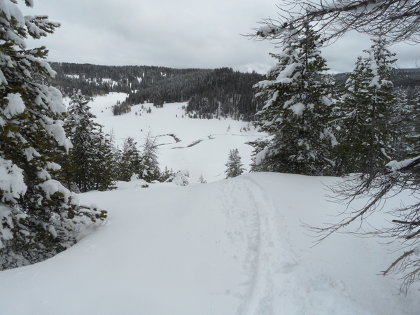
A wintry day is over the Steamboat Springs area this Sunday with snow falling and temperatures around thirty degrees late this afternoon, which is a stark change from the sunny skies and mid-sixties of yesterday. Our recent beautiful fall weather will not be returning this work week as the snow lingers into tomorrow before beginning again later Tuesday and possibly lasting through Thursday.
A deep and cold low pressure system has taken the place of the persistent ridge of high pressure over the West, bringing the first accumulating snowfall to all elevations of north central Colorado. The cold front associated with the storm blasted through our area just before sunrise, and I have accumulated almost 4” of snow today on my deck near the base of the mountain with 8” shown on the Steamboat mid-mountain powdercam.
The snows have become more showery late this afternoon, and these showers will linger overnight and through tomorrow morning in the favorable cold, moist and unstable northwest flow. We will see a small break in the unsettled weather from later Monday into Tuesday before two more waves of energy keep the cold and unsettled weather going through Thursday.
The first of these waves is currently located in the Gulf of Alaska and will force the current storm eastward on Tuesday before grazing our area starting in the afternoon. An associated stationary front looks to be around our area for at least Tuesday afternoon which will bring more snow showers, heavier and more numerous at the higher elevations.
The second wave is currently located near the Aleutian Islands and may or may not interact with that stationary front. While the bulk of that second storm looks to bring a round of moderate to sometimes heavy snowfall to our area Wednesday night into Thursday, the interaction between this storm and that stationary front will determine if we see continued light to sometimes moderate showers through Tuesday night and the first half of Wednesday or not.
Along with the snowy week, cold temperatures will also be noteworthy, considering our average high temperature is 55 F and average low temperature is 25 F. Our high temperature today of 42 F occurred just after midnight, though our daytime high was only 33 F, over twenty degrees below average. Look for low temperatures in the teens tonight and possibly approaching the single digits for Tuesday morning, While we will see warmer high temperatures on Tuesday and Wednesday, they will likely stay below the mid-forties. And the Thursday storm will be even colder, with another day mired in the thirties and low temperatures in the mid-single digits on Friday morning under clearing skies.
While it currently looks like a nice and more seasonable weekend, I’ll have more regarding that forecast in my next regularly scheduled weather narrative on Thursday afternoon.
Add comment
Fill out the form below to add your own comments


