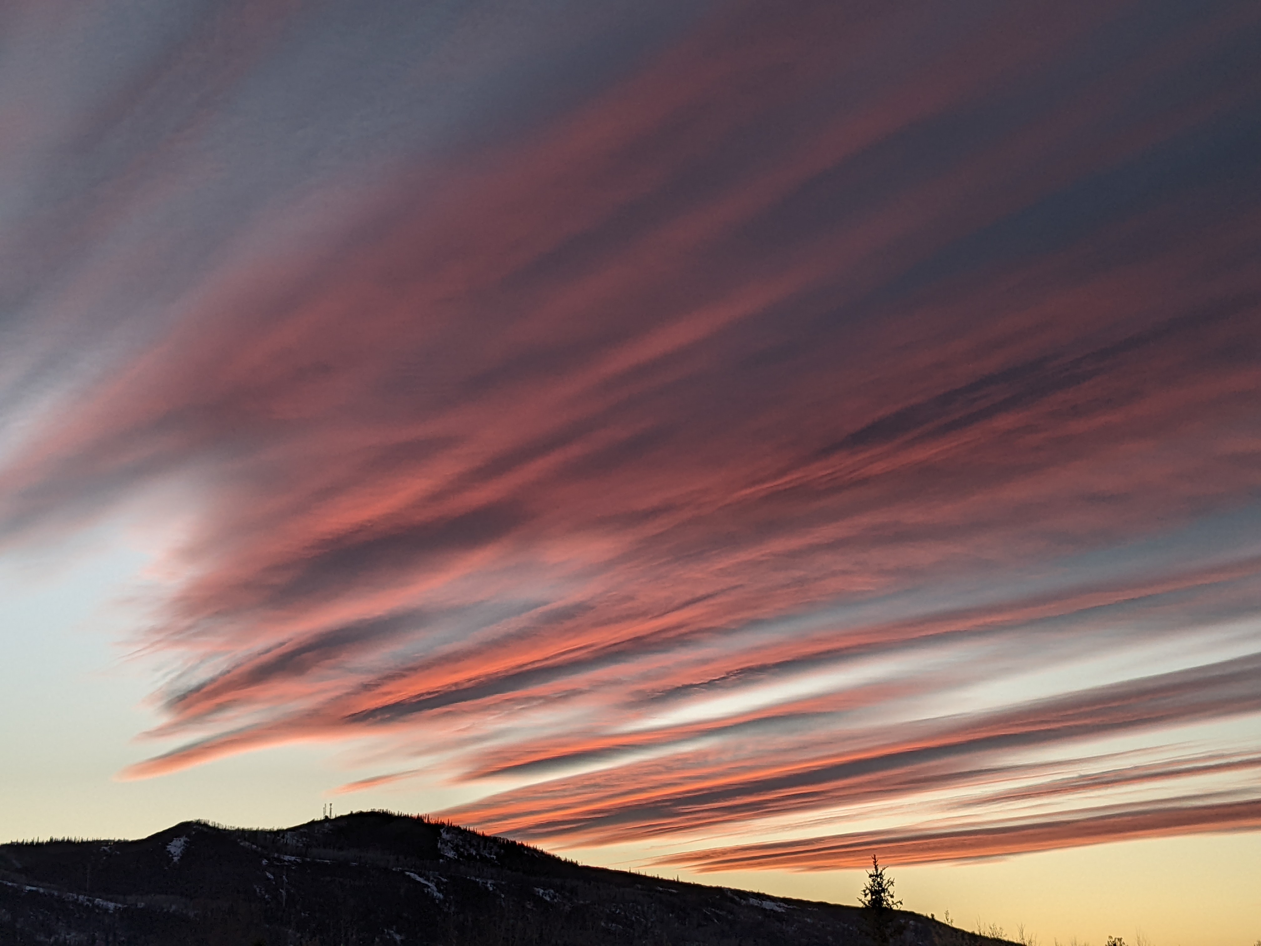
Improving weather through the weekend
Thursday, September 15, 2022
Rain showers are ongoing over the Steamboat Springs area this Thursday afternoon with temperatures around sixty degrees. After decreasing overnight, more showers are in store for Friday, though with periods of sunshine between the storms that should warm temperatures into the upper sixties. The weather begins to dry out on Saturday with slightly warmer temperatures, though we may still see some showers through the day before Sunday brings plenty of sunshine and significantly warmer temperatures in the mid-seventies.
The persistent ridge of high pressure that brought record-breaking temperatures to our area last week and was overhead as recently as two days ago has been relegated to the southeastern U.S. by a broad trough of low pressure extending from the eastern Pacific to the Rocky Mountains. Waves of energy moving through the low pressure area have brought and will continue to bring showers and cool temperatures below our average of 72 F through the early part of the weekend.
Our area has received beneficial rainfall from this system, with around a third of an inch recorded around town by this morning and at least an additional quarter-inch so far today recorded by the SnowAlarm weather station near the mountain.
Snow was also remotely observed by the Grand Junction radar over the Uinta Mountains yesterday and today with their peaks reaching above 13,000′, with some weather forecast models predicting snowflakes over Cameron Pass later tomorrow. Our first snowfall will wait though, as low temperatures in the upper thirties near the top of the Mt Werner will likely not be cold enough for snow. But certainly check the Steamboat Powdercam in case snow levels fall further than forecast.
The unsettled weather will be around on Friday and linger through Saturday, though more sunshine between the showers should allow high temperatures to increase to the upper sixties tomorrow and breach seventy degrees on Saturday. Shower coverage will decrease on Friday compared to today, and more so on Saturday, and there may be morning showers on both days in addition to the more usual afternoon showers.
By Sunday, though, beautiful dry weather with a temperature in the mid-seventies is forecast as a storm currently near the Aleutian Islands moves southward along the West Coast and forms an eddy that may loiter there through the early part of the work week. This allows the ridge of high pressure to build back toward our area bringing another beautiful and even warmer day on Monday.
And, contrary to the possibly premature prognostications by some declaring the monsoon season over, the combination of southerly flow ahead of the eddy combined with the clockwise circulation around the high pressure area may bring another surge of monsoonal moisture overhead by midweek. Enjoy the improving weather over the weekend, and what is likely to be a stellar Sunday, and I’ll be back that afternoon discussing the evolution of that eddy and whether we have another monsoonal surge of moisture in our midweek forecast.


