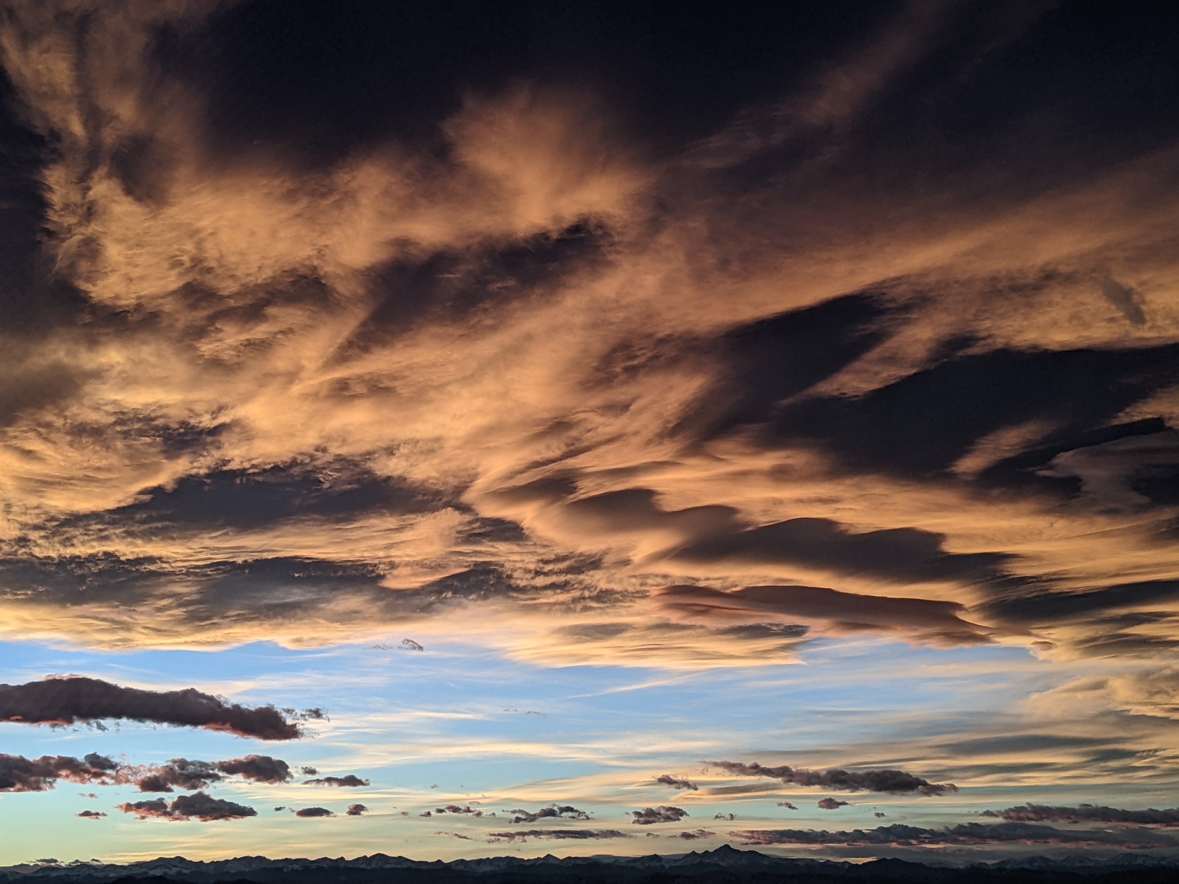
Rain chances return for midweek
Sunday, September 11, 2022
A stunning day is over the Steamboat Springs area with cloudless skies and temperatures around seventy degrees early this Sunday afternoon. More of the same is expected for Monday with warmer temperatures before the remnants of Hurricane Kay and incoming Pacific energy increase the chances of rain starting later Tuesday and extending into Thursday, with Wednesday likely the wettest day of the work week.
The storm that dragged our first cold fronts of the season through the area is currently moving through the Great Lakes region while the remnants of Hurricane Key are located off the southern coast of California. A wave of Pacific energy is forecast to cross the Pacific Northwest coast on Monday and mix with the former hurricane, eventually bringing first clouds and then showers through our area starting later Tuesday.
But first, the official weather station for Steamboat Springs located behind the high school has reported that we tied or broke daily high temperature records for last Sunday, Monday and Thursday ahead of the two cold fronts on Friday and Saturday. Clear skies and light winds allowed our temperatures last night to reach the coldest of the season so far, with the Bob Adams airport recording a low of 31 F and my weather station near the base of the mountain recording 28 F, with the first frost of the season visible in some of the drainages.
Smoke has also abated for today, but is expected to return on Monday according to the latest 48 hour run of the NOAA smoke model. A ridge of high pressure will build overhead between the departing storm and the advancing weather from the west and southwest as temperatures rise to the low eighties tomorrow, as much as ten degrees above our average of 73 F.
While Tuesday will start with a mostly sunny morning, clouds will increase during the afternoon with showers possible by Tuesday evening and overnight as the remnants of the hurricane pass nearest to our area. Moisture will stick around on Wednesday and Thursday, with widespread showers likely through the day Wednesday and into Thursday morning.
The weather for the weekend is uncertain at this time as the European ECMWF has another wave of Pacific energy crossing the West Coast while the American GFS has a building ridge of high pressure over the Rockies, keeping the storm further offshore. So stay tuned to my next regularly scheduled weather narrative on Thursday afternoon to see what next weekend may hold in store.
Add comment
Fill out the form below to add your own comments


