Meager rain chances best on Friday and Sunday
Thursday, August 25, 2022
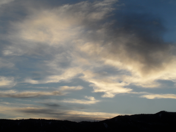
Cloudy skies with temperatures in the mid-seventies are over the Steamboat Springs area this Thursday mid-afternoon. A couple of storm systems passing to our north on Friday and Sunday will give us our best chance for meager rainfall, with Saturday looking like the sunniest day of the weekend.
The northern half of the ridge of high pressure that was over the West this week has gone missing thanks to a storm system currently moving east across northern Idaho. But the clockwise circulation around the remaining southern half of the high pressure has allowed monsoonal moisture from the southwest to move overhead, creating the cloudy skies. Storm chances are slim today, but slightly better tomorrow as the Idaho storm moves into Montana. We could see some afternoon and evening showers as the southern end of that storm combines with a disturbance in the monsoon flow currently near Las Vegas.
Saturday looks mostly sunny and dry with temperatures around our average of eighty degrees before the upstream storm system responsible for pushing the Idaho storm eastward crosses the Gulf of Alaska and takes a similar track, but slightly further south. We should see a grazing cool front on Sunday afternoon which will drop temperatures by several degrees and increase winds from the west. There may be some showers ahead of the storm overnight Saturday and later Sunday, though those chances currently are slim.
The ridge of high pressure is forecast to rebound over the West following the weekend disturbances with sunny weather and high temperatures exceeding eighty degrees for the work week. This currently looks to extend through the long Labor Day weekend, but stay tuned to my next regularly scheduled weather narrative on Sunday afternoon where I’ll have any updates for the traditional end-of-summer weekend.


