Pleasant start to the work week after showers today
Sunday, July 24, 2022
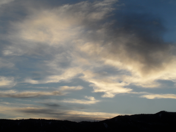
Cloudy skies with temperatures in the mid-sixties are over the Steamboat Springs area early this Sunday afternoon. Even after receiving about four hundredths of an inch of rain from a passing shower this morning at the SnowAlarm weather station near the base of the Steamboat Ski Resort, additional rain is likely from thunderstorms this afternoon. Drier air overspreads the area this evening for mostly sunny days and pleasant temperatures through midweek before another monsoonal surge of moisture is forecast to start Thursday.
A persistent area of low pressure that has sat over the Gulf of Alaska most of this summer is finally moving eastward as it is replaced by a building ridge of high pressure over the eastern Pacific. The eddy left behind from last week’s Vancouver storm is currently moving through Idaho, and energy associated with this feature will conspire with the monsoonal moisture and energy moving northward for likely storms this afternoon.
As the old Gulf of Alaska low pressure area moves eastward across Canada, it will drag the Idaho eddy eastward as well, and the winds will switch to be from the northwest by this evening on the backside of the eddy, bringing much drier air overhead by tonight. Additionally, cold air from a persistent area of low pressure over Hudson Bay will mix with the old Gulf of Alaska storm, allowing cool air to spill southward across the Great Lakes. This keep the dry northwest flow overhead through midweek, with mostly sunny skies and pleasant afternoon temperatures in the mid-eighties, right around our average high of 84 F.
The weather pattern changes by Thursday as the temporarily squashed ridge of high pressure to our east rebounds into the Pacific Northwest. And once again, southerly winds under the ridge of high pressure are forecast to bring another surge of monsoonal moisture overhead for a good chance of showers on Thursday and Friday.
More energy emanating from the Bering Sea is forecast to move through the ridge of high pressure that was temporarily located over the Gulf of Alaska late in the work week, and by the weekend is forecast to move through the northern Rockies. The energy may be strong enough to switch our winds to be from the west or northwest and sever the monsoonal moisture plume, or not, but check back Thursday afternoon for my next regularly scheduled weather narrative where those details should be clearer.


