Showers possible through the weekend
Thursday, June 23, 2022
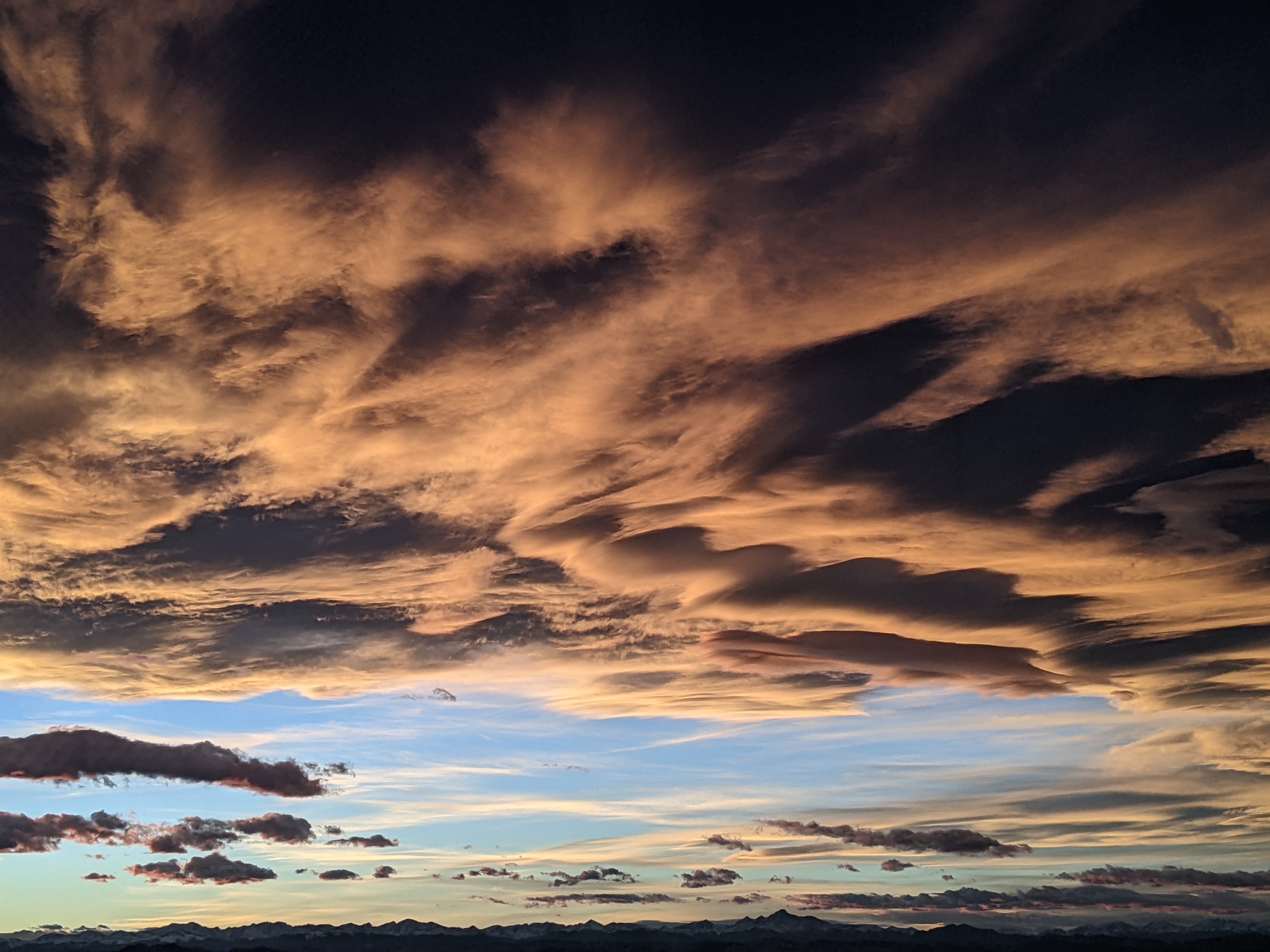
Cloudy skies with temperatures around seventy degrees and relative humidities north of forty percent are over the Steamboat Springs area this Thursday mid-afternoon. I mention the relative humidity since the day feels humid compared to our normal summer days which often clock in with values below twenty percent. The moist atmosphere will support the possibility of showers today with better chances on Friday as a cool front passes through within several hours of noon. Drier air behind the front will reduce the shower chances on Saturday before they increase again for Sunday.
Currently, a leftover piece of the early week Great Basin storm is over Nevada and is being dragged eastward by another storm passing through the southern Canadian Rockies. Additionally, the clockwise rotation around a ridge of high pressure centered over Texas and extending into the Dakotas is bringing moisture from the south over our area and creating the humid conditions.
Look for a chance of showers this afternoon and tonight as a weak wave of energy rotates around the backside of the high pressure early tonight. We will see a better chance of showers on Friday as that leftover Nevada storm drags a cool front through our area tomorrow within several hours of noon.
Winds will turn to be from the current southwest to the west when the cool front passes and eventually the northwest, which will dry the atmosphere for a substantial decrease in afternoon shower chances on Saturday.
Concurrently, that Canadian Rockies storm is forecast to move into the Dakotas on Saturday, though its southward progress will be limited by the ridge of high pressure to its south. The ridge will end up being deformed; think of a bowl of jello where depressing the center of the bowl temporarily forces the jello to the sides. So by Sunday, as the Dakota storm moves into the Great Lakes, the ridge of high pressure squirts westward, allowing moist flow from the south to re-establish itself overhead. This should lead to good chances for showers on Sunday afternoon and night.
Shower chances remain going into the work week, though at much reduced levels as the stream of moisture from the south is temporarily reduced as the ridge of high pressure relocates. Check back Sunday afternoon for my next regularly scheduled weather narrative where I’ll discuss the work week weather and take a peek at the weather for the long Independence Day weekend.


