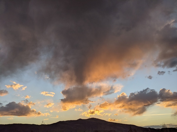
Big cooldown on Tuesday
Sunday, June 12, 2022
Abnormally hot temperatures in the mid-eighties, mostly sunny skies and breezy winds from the southwest are over the Steamboat Springs area this Sunday afternoon. Though temperatures will decrease a bit on Monday, the winds will increase ahead of a strong but mostly dry cold front that will bring much cooler temperatures into our area for Tuesday and Wednesday. Warmer temperatures return for the end of the work week along with increasing rain chances as we head into the weekend.
The weather over the West is being squeezed between a strong storm in the Gulf of Alaska and a building ridge of high pressure over the Southeast. While the Pacific Northwest is currently seeing cold and rainy weather, we will be grazed by a couple of waves rotating around the southern end of the storm on Monday and Tuesday nights. The first wave will bring a strong cold front through our area very early Tuesday morning, though moisture will be sparse as most of the storm is deflected to our north by the building ridge of high pressure over the Southeast.
For the rest of today, look for high temperatures similar to the high temperature of 87 F yesterday at the Bob Adams airport, which is fifteen degrees above our average of 72 F. Though high temperatures will decrease on Monday by about ten degrees as the cold front approaches, winds will increase with gusts around 40 mph likely.
There may be some very early morning showers Tuesday when the front moves through, but precipitation will be hard to come by as the cold and relatively dry air moves into our area. High temperatures on Tuesday look to be in the low sixties, which represents a twenty-five degree cooldown from today.
A reinforcing cold front is timed for Tuesday night with no precipitation expected. However, the low temperatures for Wednesday morning will be flirting with the freezing mark, so those gardeners who have not followed the plant-after-Father’s-Day rule of thumb for the Yampa Valley may consider covering their newly planted gardens or bringing easily moved plants indoors.
Another Pacific storm currently near the Aleutian Islands is forecast to replace the departed Gulf of Alaska storm by midweek before elongating along the West Coast through next weekend. The southerly flow ahead of the storm will encourage the ridge of high pressure over the Southeast to move westward, allowing above-average temperatures to return starting Thursday.
By the end of the work week, weather forecast models agree that moisture from the south will be funneled northward thanks to the southerly flow ahead of the West Coast storm and the clockwise rotation of air around the westward moving Southeast ridge of high pressure. This has the hallmarks of a North American Monsoon moisture surge, though it is too early to say whether this pattern is a hint of what’s to come later in the summer.
So enjoy the cooldown for a couple of very pleasant days on Tuesday and Wednesday, and check back for my next regularly scheduled weather narrative on Thursday afternoon where I’ll discuss the possibility of wetter weather returning for the weekend.
Add comment
Fill out the form below to add your own comments


