Beautiful start to Memorial Day weekend turns unsettled by Sunday
Thursday, May 26, 2022
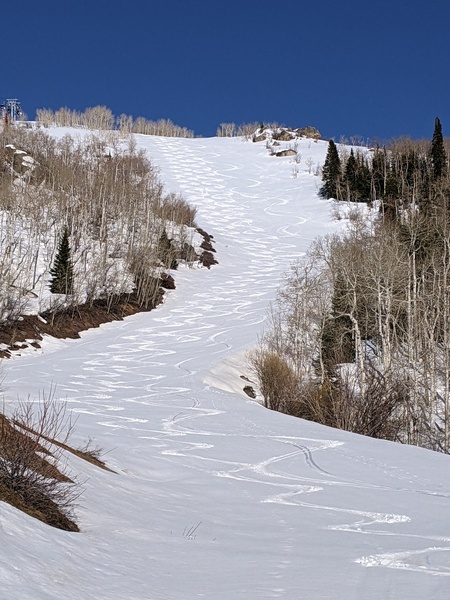
Gorgeous weather with temperatures in the low seventies and bluebird skies are over the Steamboat Springs area this Thursday afternoon. We’ll start the long Memorial Day weekend with similarly pleasant weather, though the winds increase and skies cloud over on Saturday ahead of several weather disturbances that will bring unsettled weather back to our area from Sunday through Memorial Day and possibly into Tuesday.
Currently, a ridge of high pressure over the West has built ahead of a developing storm in the Gulf of Alaska, bringing the beautiful late spring weather overhead with temperatures running about five degrees above our average of 67 F. Friday will be similar with slightly warmer temperatures and breezier, though there may be some afternoon clouds and a stray shower as some energy ejects out ahead of that Gulf of Alaska storm.
By Saturday, the Gulf of Alaska storm will evolve in a complex fashion as incoming Pacific subtropical moisture and energy mix with cold air from the northern latitudes. Several centers of circulation are forecast to form within the storm while it lumbers east, crossing the Pacific Northwest coast tonight and taking up residence in the Great Basin through the entirety of the long Memorial Day weekend.
Winds will substantially increase to be from the southwest ahead of the storm on Saturday, with warm temperatures persisting and clouds increasing through the day, knocking a few degrees off the high temperatures from Friday.
A weak cool front may pass through as early as Saturday night, though some weather forecast models keep that to our west until Sunday when a strong cold front passes through. High temperatures look to drop around twenty degrees from Saturday into the fifties, along with rain and rain showers and afternoon and evening thunderstorms. Snow levels will fall from 10,000′ Saturday night to 8,000′ by Memorial Day morning, so those camping in the high country should be prepared for the summerlike conditions that start the weekend to turn winterlike on Sunday.
It looks like the bulk of the precipitation should occur Sunday and Sunday night, though expect a cool and showery Memorial Day with high temperatures struggling to reach fifty degrees. Weather forecast models agree that a large part of the storm will still be to our west on Monday night, leading to at least another cool and showery day on Tuesday as what is left of the storm moves nearby or possibly overhead, though disagree on the amount of precipitation.
So enjoy the gorgeous start to the Memorial Day weekend, and know that the region will experience beneficial precipitation for the seventh weekend out of eight since Closing Weekend at the Steamboat Ski Resort. I’ll be back Sunday afternoon with a more detailed look at the weather for Memorial Day, the possibility of more precipitation on Tuesday and what looks like a warming and drying trend starting midweek.
Add comment
Fill out the form below to add your own comments


