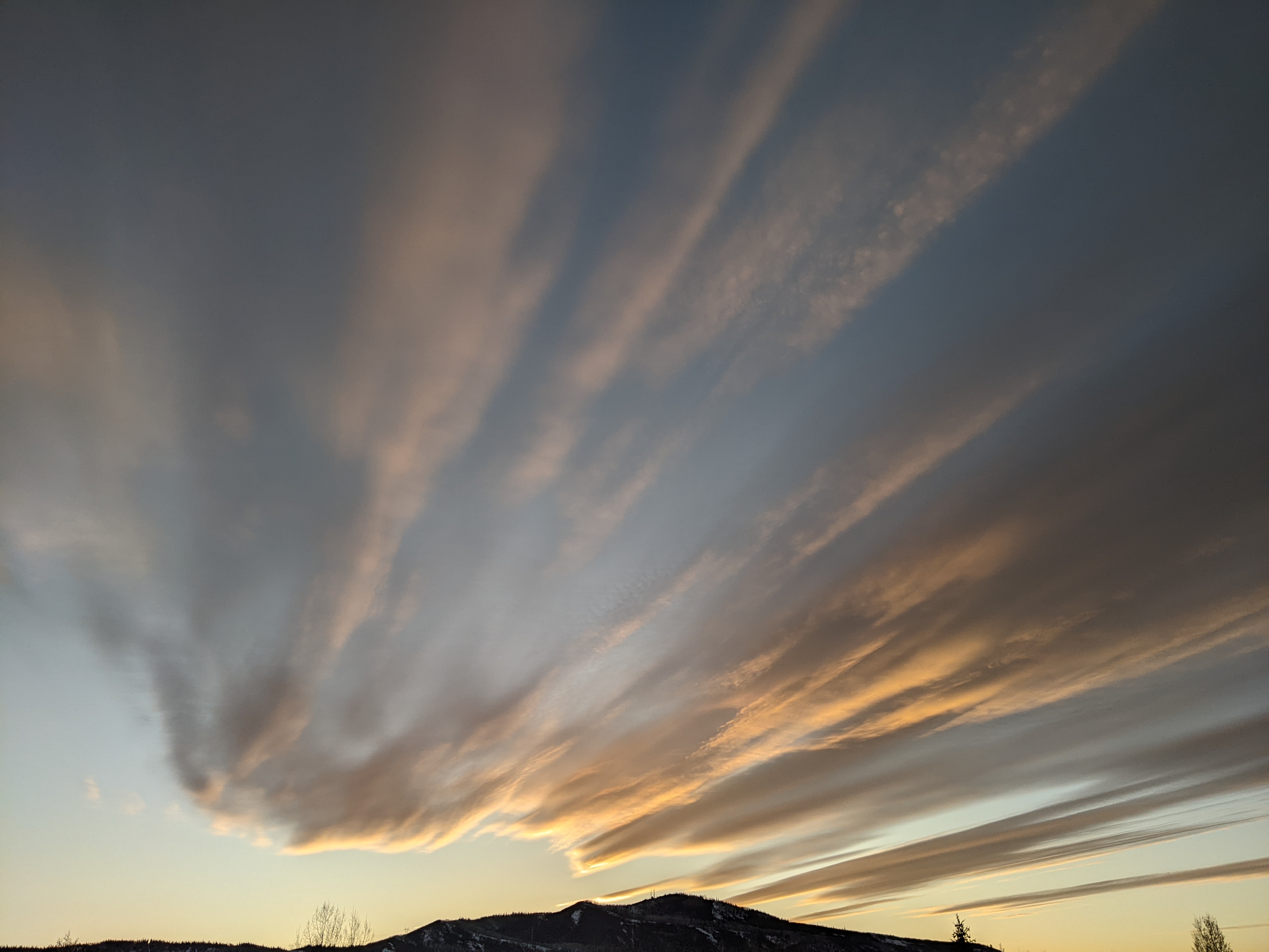
Wintry weather continues this week
Sunday, March 6, 2022
Temperatures are in the upper twenties in the town of Steamboat Springs and mid-teens near the top of Mt. Werner this Sunday noon under mostly cloudy skies with peeks of sun. Snow showers should redevelop this afternoon and last through Monday as the third and final storm in this series scoots west of our area on Monday and south of our area on Tuesday. Though snowfall amounts will be limited, the cold air will not with below zero low temperatures in the forecast for both town and the mountain on both Monday and Tuesday mornings. And the winter weather continues on Wednesday as another cold storm with good snowfall potential moves through during the day and overnight.
Currently, the second storm in this three-storm complex is heading to our east while the third storm is moving through Idaho. This last one will be the coldest and driest of the three, and though we may see on-again and off-again snow showers from this afternoon through most of Monday, I would only expect 1-4” of snow to accumulate at mid-mountain. Temperatures will be cold though, with low temperatures around zero at all elevations on both Monday and Tuesday mornings.
There will likely be periods of sun Tuesday morning as our next storm, currently riding over the top of an eastern Pacific ridge of high pressure, mixes with some frigid air from the North Pole and moves southward toward our area later Tuesday. Expect snow showers to start by the afternoon or overnight and become moderate to heavy at times on Wednesday and Wednesday night as energy ejects out of the approaching storm and moves over the arctic cold front on our doorstep. I would expect 5-10” of accumulations by the Thursday morning report before snowfall ends early Thursday.
If skies clear by Friday morning, we could again be looking at low temperatures well below zero, possibly reaching the negative teens in the coldest low-lying valley locations. A storm currently near the Dateline is then forecast to bodily push the persistent ridge of high pressure towards our area for next weekend, though we may still be susceptible to some showers and surges of cool air as waves of energy and moisture possible mix with some cold air from western Canada and graze our area as they move down the eastern periphery of the ridge.
This dislocation of the persistent eastern Pacific ridge may open the door to warmer and wetter Pacific storms crossing the West Coast and moving toward our area, but there is a lot of weather to get through before discussing the period after next weekend. So stay tuned to my next regularly scheduled weather narrative on Thursday afternoon where I’ll discuss the weekend weather and the possible pattern change.
Add comment
Fill out the form below to add your own comments


