Next storm starts tonight with a cold but sunny start to the weekend
Thursday, December 16, 2021
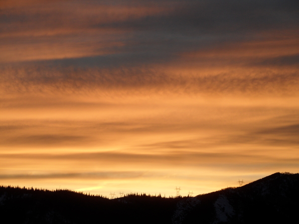
Mostly sunny skies and chilly temperatures of 15 F at the Bob Adams airport and 13 F near the top of Mt. Werner are over the Steamboat Springs area this Thursday noon. Our next storm starts this evening with snows tapering off through Friday ahead of a cold start to a mostly sunny weekend.
A cold storm currently moving across the Great Basin will approach our area this afternoon with snow showers starting by this evening. Snows are expected to become more persistent and intense heading toward and after midnight with rates approaching an inch per hour at times before they start becoming more showery after the 5 am Friday morning ski report. We could see 3-6” at mid-mountain by that report, with Steamboat Magic bringing more accumulating snowfall between the report and when the lifts start loading.
While snows will become more showery and taper off through the day and evening, another 1-4” might fall and would be recorded on a quite cold Saturday morning ski report when temperatures both at the base and at the top fall to zero or below. Travel could be difficult at times over Rabbit Ears Pass from about midnight tonight through Friday morning under the heavier showers.
Though Saturday will start cold, the winds will turn to be from the northwest during the storm to the west after the storm and bring warmer and drier air overhead. Valleys will be slow to warm due to fresh snow cover and light winds, but mid and high elevations slopes should see high temperatures in the teens by Saturday afternoon and the twenties by Sunday afternoon under mostly sunny skies.
Meanwhile, a strong storm currently near the Aleutian Islands is forecast to strengthen as it approaches the West Coast and eventually form an eddy cut off from the jet stream. While these types of storms are notoriously difficult to predict due not only to the nature of the storm but the sparse observational network in the middle of the ocean, current forecasts have the storm staying largely off shore through at least the beginning of the short work week. The end result for our area will be continued mostly sunny skies and warming temperatures to start the week, with a chance of snow returning to our area around midweek or soon after.
Be sure to stay tuned to my next regularly scheduled weather narrative on Sunday afternoon where I’ll discuss what will hopefully be the start of a stormy pattern heading into the Christmas holiday.


