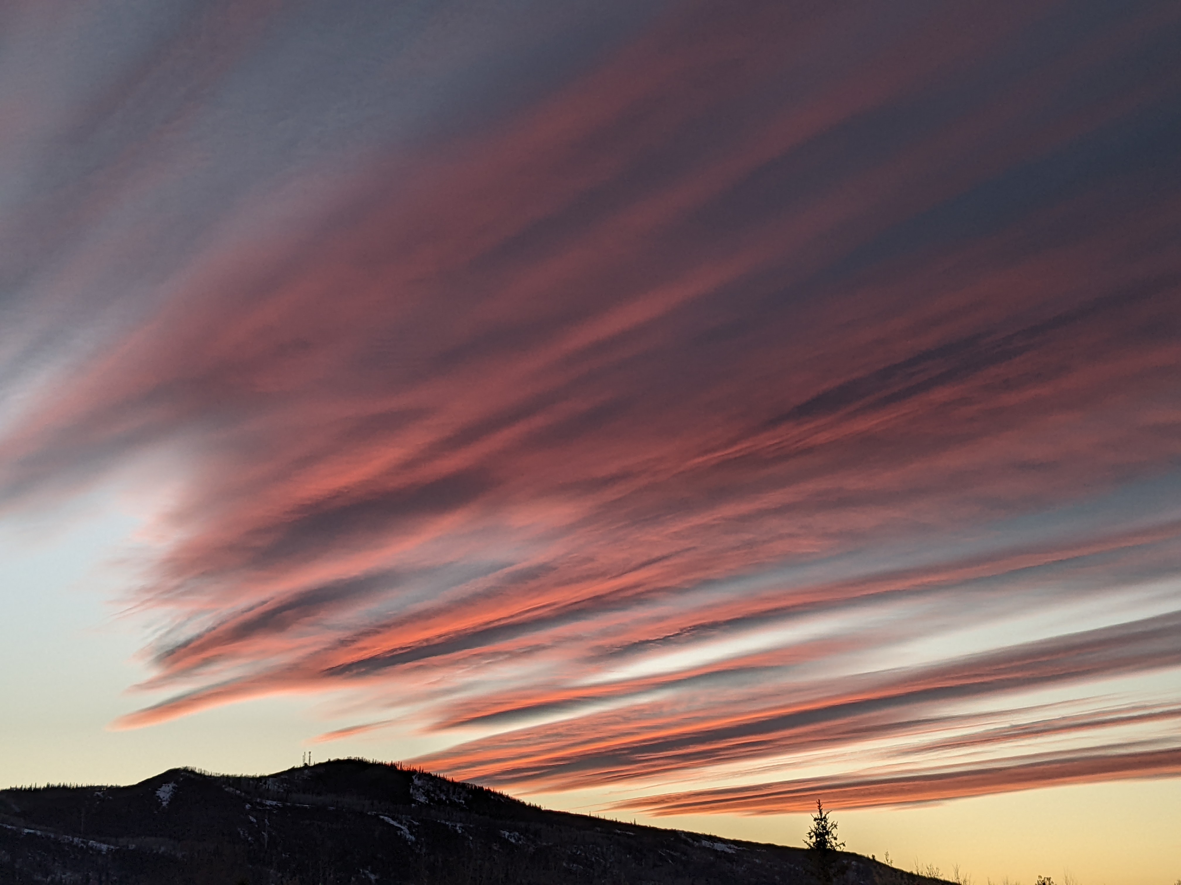
Wintry weather is here now but departs for the weekend
Thursday, October 14, 2021
The town of Steamboat Springs woke up to another 1 - 2” of snow this Thursday morning, on top of the 4 - 6” that we woke up to yesterday morning. Temperatures are currently in the low to mid-thirties under cloudy skies early this Thursday afternoon, with another round of snow showers forecast for later today and tonight. While the snows should end by Friday morning, the cold temperatures will stick around for another day, even as the sun returns. But temperatures will warm under sunny skies through the weekend, especially after the snow melts.
An unseasonably cold air mass is sitting over the western half of the U.S. thanks to a couple of storms that originated in the Bering Sea and developed in the Gulf of Alaska, with air sourced from the North Pole. Yesterday, the high temperature at the Bob Adams airport was 33 F, over twenty-five degrees below our average of 60 F, with not much warming expected for today. Snow showers should restart later today as the final push of cold air moves across, and they should taper off after midnight before ending by Friday morning.
We should see increasing sunshine as Friday wears on, but a lot of the sun’s energy will go into melting the fresh snow rather than warming the air, so expect some warming tomorrow, but not a lot, as temperatures are expected to get into the forties.
While another storm forms in the Bering Sea and develops in the Gulf of Alaska this weekend, the warm and strong southwesterly flow ahead of the storm will force a downstream ridge of high pressure to strengthen and move overhead. We’ll see lots of sunshine for the weekend, and the warming that results will depend on how quickly the snow melts. We could see temperatures around fifty on Saturday and in the fifties by Sunday as seasonable fall weather returns.
The next incoming storm from the Gulf of Alaska is forecast to split as it makes landfall along the West Coast late in the weekend. Weather forecast models are struggling with the path and strength of the storm, but increasing clouds on a seasonable Monday in advance of the storm are a good bet. Stay tuned to my next regularly scheduled weather narrative on Sunday afternoon for details about possible precipitation on Tuesday.


