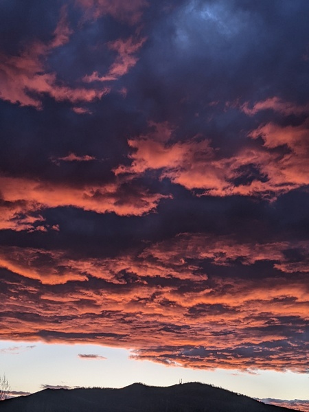
Unsettled weather to start the work week
Sunday, September 12, 2021
Temperatures in the Steamboat Springs area are right at the seventy degree mark this Sunday noon with a mix of sun and clouds behind the first of several cool fronts which grazed our area last night. A couple more grazing cool fronts will keep the unsettled weather around for today and Monday before we see more sun and warmer temperatures by midweek.
The strength and position of the jet stream is directly related to the temperature difference between the equator and the Poles, and as the northern latitudes cool in the autumn, the northern hemisphere, or boreal, jet stream becomes stronger and meanders further south. Right now, the jet stream is close enough to our area to allow passing storms to drag cool fronts through, with the first of several cool fronts passing last night.
So behind the first cool front, expect a mix of sun and clouds today with the possibility of a quick-moving shower later today as high temperatures drop from the 88 F observed on Friday and the 82 F observed yesterday into the mid-seventies today, right near our 74 F average.
Fortunately the front cleared the smoke from our area that was around for the past week, and it looks like the smoke will stay away for at least the beginning of the work week. The next grazing cool front is forecast for tonight, with another one forecast for Monday night, so look for the possibility of showers associated with the cool fronts to hang around through early Tuesday morning along with near average temperatures.
The winds shift to be more from the southwest by Tuesday afternoon which brings much drier air and sunny skies overhead, so expect high temperatures around seventy degrees on Tuesday, several degrees below average. Even though drier air moves overhead, there may be enough low-level moisture for an afternoon shower, though weather forecast models currently disagree on the possibility.
But dry weather is expected for the rest of the work week with temperatures warming to above average. These will be some quintessential mid September days consisting of warm and sunny afternoons in the seventies and cool nights in the thirties, perfect for the beginning of leaf-peeping season where there is already some color appearing in some locations.
Weather forecast models have a large storm moving across the Gulf of Alaska late in the work week, and we may see some increased moisture ahead of that storm by next weekend depending on the eventual track and strength of the storm. So stay tuned to my next regularly scheduled weather narrative on Thursday afternoon where I’ll discuss that storm and what it might mean for our weekend weather.


