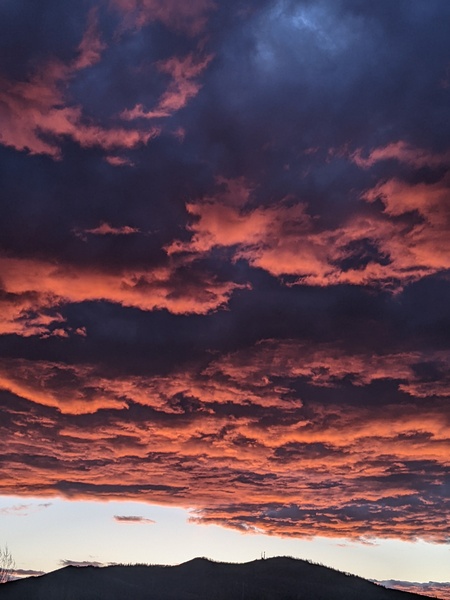
Moisture increases and smoke decreases by midweek
Sunday, August 29, 2021
Temperatures are close to eighty degrees under sunny but smokey skies in the Steamboat Springs area early this Sunday afternoon. While Category 4 hurricane Ida impacts Louisiana today and will not affect our weather, moisture from Category 1 hurricane Nora currently off the Pacific coast of Mexico is expected over our area by midweek leading to the possibility of moderate to heavy rain.
Winds from the west have transported smoke from the California wildfires over our area starting yesterday, with the NOAA smoke plume model keeping the smoke around through the entirety of its forecasting range, which ended early Tuesday.
A storm currently developing in the Gulf of Alaska is forecast to cross the Pacific Northwest coast Tuesday morning, with the winds turning ahead of the storm to be from the southwest over our area by Wednesday. My guess is there won’t be enough southwesterly flow on Tuesday to move the smoke from our area, so expect another smokey day with continued warm temperatures in the eighties, which is above our average high temperature of 78 F.
The weather gets far more interesting by Wednesday as the southwesterly flow ahead of the Pacific Northwest storm steers moisture from what will then be the remnants of Nora over our area. Coincidentally, a piece of the Pacific Northwest storm is left behind off the coast of California which may be a player in our weather for late in the work week and next weekend.
In any event, Wednesday will likely start warm similar to the last few days, with hopefully far less smoke which should be gone by the afternoon as the chances for showers increase. High temperatures will also be held in check by the increasing cloud cover, so highs several degrees below average are expected.
By Wednesday night, weather forecast models have the possibility of moderate to heavy rain increasing as the remnants of Nora move overhead or nearby. The track is still uncertain as the hurricane is now forecast to move northward closer to the mainland than Baja, and this will influence the track of the heaviest moisture.
But weather forecast models agree that we will see a much cooler and showery Thursday, with high temperatures struggling to break out of the sixties. There is a fair bit of uncertainty for the weekend as that leftover piece of energy off the coast of California may move inland and contribute to another push of monsoonal moisture from the south, so stay tuned as I’ll certainly know more about that by my next regularly scheduled weather narrative on Thursday afternoon.


