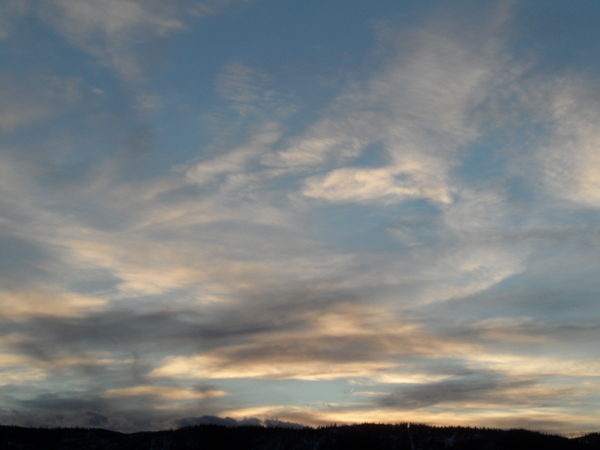
Taste of Autumn
Thursday, August 19, 2021
Temperatures are in the mid-sixties this Thursday afternoon with a mix of some sun and clouds over the Steamboat Springs area after a rainy morning. A cold fall-like storm currently in Utah will swing through our region overnight bringing more rainfall and even a dusting of snow at the higher elevations. While similarly cool temperatures will persist for Friday, they’ll warm through the weekend and the following work week under mostly sunny skies.
The center of a quite cold storm by mid-August standards is on our doorstep, with significant rainfall ahead of the storm being reported around town this morning. Between two and four tenths of rainfall was reported across the region as of 7 am this morning, with that much or more expected by tomorrow morning as waves of energy and moisture associated with the storm move overhead through tonight.
The coldest air will not be overhead till early Friday morning when most of the moisture will have passed, but snow levels will be low enough for a dusting of snow at the higher elevations. There may even be snowflakes on top of Mt. Werner, though unfortunately the Steamboat Powdercam is not currently active to verify that. Feel free to comment in this blog if you happen to be camping at the higher elevations and see this ski season’s first snowfall!
While precipitation will be over early Friday, the air mass will be slow to recover and again we will see high temperatures in the sixties on Friday, around ten to fifteen degrees below our average of 80 F, though with lots of sun.
The weekend is looking quite pleasant, with temperatures recovering into the seventies even as another storm is forecast to cross the Pacific Northwest coast Friday night. However, a ridge of high pressure centered over the southeast will deflect the storm to our northwest, but not before some increasing winds later Saturday along with the slight chance of some afternoon and overnight showers.
The ridge of high pressure elongates to the northwest and over our area by the beginning of the work week, leading to mostly sunny skies and temperatures warming to around average which persist through midweek, along with some breezes. There is very dry air lurking to our west, though that is forecast to battle the monsoonal moisture traveling northward along the west side of the high pressure, so there may be a small chance of a late-day shower, or not, depending upon the daily outcome of that battle.
Another storm is forecast to cross the Pacific Northwest midweek, but again the forecasts are for the storm to deflect around our area, and right now it looks like we will see dry weather with some more breezes to close out the work week. Stay tuned to my next regularly scheduled weather narrative on Sunday afternoon for any updates to the pleasant weather forecast.


