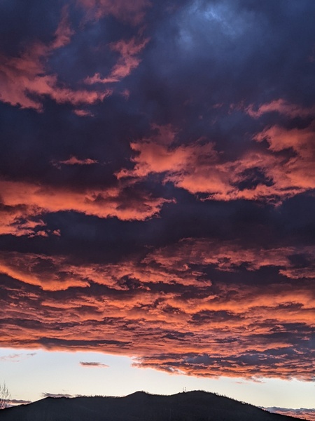
Cool front tonight followed by continued hot and dry weather
Thursday, June 10, 2021
Temperatures in the low to mid-eighties and gusty winds from the south and southwest are over the Steamboat Springs area this Thursday afternoon. We’ll see some relief from the heat as a cool front moves through tonight along with a chilly start to Friday morning, but the hot and dry weather returns for the following week.
As an administrative note, I have turned back on the NOAA Smoke Plume forecasts for those interested in following where smoke that may be over our area is coming from and how thick it may be, and the first blog post where I discussed this model is here.
A compact and powerful storm for the season that brought some accumulating snow to the northern California mountains last night is currently rotating through the northern Great Basin. We will see continued hot and windy weather ahead of the storm today before the grazing storm brings a cool front through our area tonight. So expect a cool Friday morning with temperatures in the thirties which may require any outdoor plants to be covered, with temperatures quickly warming to five to ten degrees or so above our average high temperature of 72 F.
A ridge of high pressure rebuilds over the Rocky Mountains ahead of another powerful storm that is forecast to spin in the Gulf of Alaska through the early part of next week. So expect more summery days filled with sunshine and hot temperatures with relatively quiet winds.
Some of the storm in the Gulf of Alaska is forecast to eject inland by incoming energy traveling through the northern Pacific, but the massive ridge of high pressure over the Rocky Mountains will resist. The battle between the air masses will result in the storm being shunted to our northwest and into the central Canadian Plains through midweek, with no changes to our weather expected till perhaps near the end of the work week.
Interestingly, the battle will deform the ridge of high pressure for a time before it is forecast to rebuild further west. If this happens as currently forecast, we may see some relatively cooler temperatures for the end of the work week and next weekend along with some very modest shower chances as the upper level flow turns to be from our favorable northwest direction.
Enjoy the quintessential Colorado summery weather this upcoming week, and I’ll have more details on the possible shower chances to end the work week in my next regularly scheduled weather narrative on Sunday afternoon.


