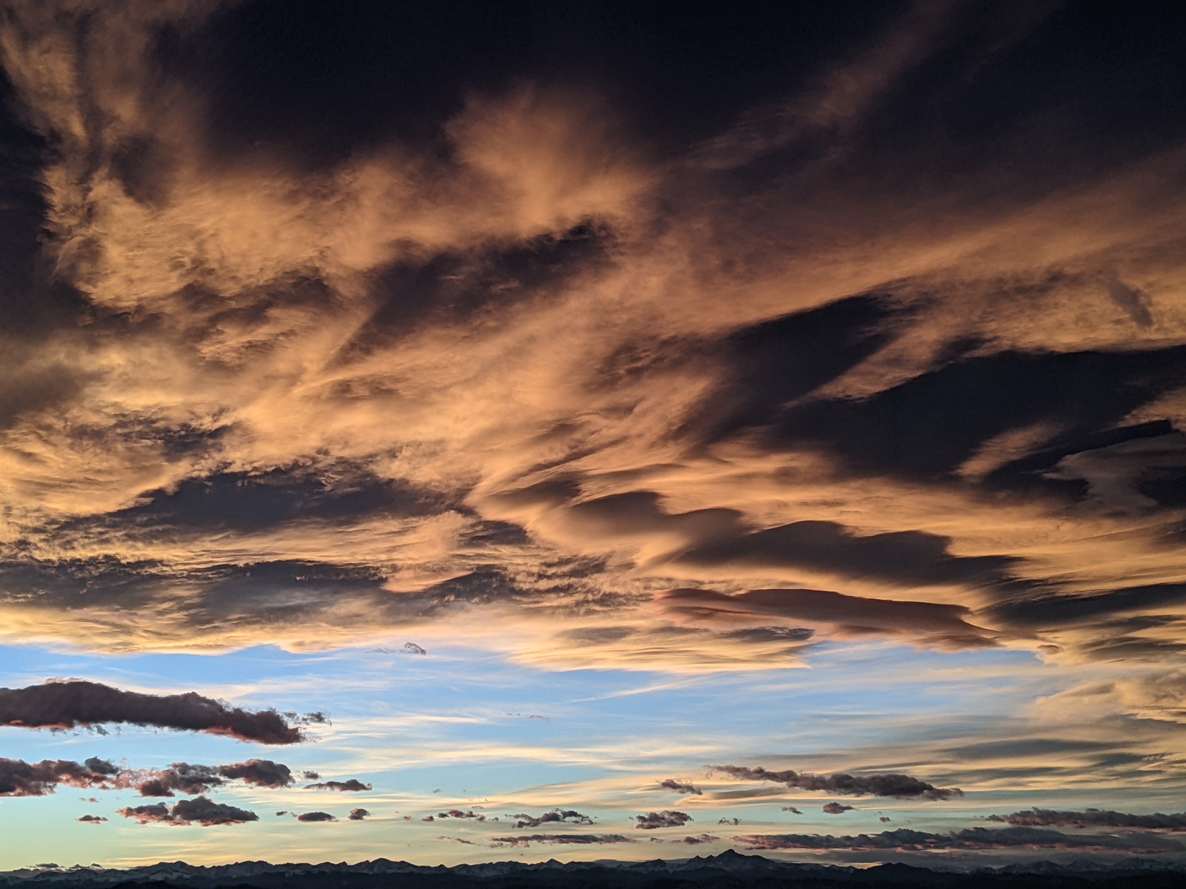
Cooler and showery end to Memorial Day weekend
Sunday, May 30, 2021
While the Steamboat Springs area saw some clouds and sun for the first part of this Sunday, temperatures have dropped and thicker clouds have moved in ahead of a good chance of late afternoon and evening thunderstorms. Memorial Day will be similar, with slightly less of a chance of storms before a warming and drying trend starts on Tuesday ahead of possibly our first eighty degree day of the season.
Our current weather is the result of a diffuse area of low pressure around northern Baja and a fast-moving storm currently centered just north of North Dakota. The southerly flow ahead of the Baja storm helped bring moisture to our area today while the grazing North Dakata storm dragged a cool front through our area around 3 pm this afternoon. In fact, the temperature near the top of Mt. Werner fell about 10 degrees in the half hour after 3 pm while the temperature at the Bob Adams airport fell about 8 degrees in the half hour after 3:30 pm.
Showers should form along and behind the front before ending later this evening. Similar to today, we should see a nice Memorial Day morning before showers may return for tomorrow afternoon and evening, though with less of a chance than today.
A warming and drying trend starts on Tuesday as a ridge of high pressure builds over the West, though there will still be decreasing chances for afternoon storms. After a couple of days with high temperatures in the sixties today and tomorrow, expect low seventies for Tuesday, upper seventies for Wednesday and perhaps our first eighty degree day by Thursday or Friday.
And even though weather forecast models agree on the warm late-week weather, they disagree on the shower potential. A storm currently rounding the developing ridge of high pressure over the West Coast may or may not partially mix with that Baja storm, and the American GFS wants to draw some moisture over our area for increased storm chances late in the work week while the European ECMWF wants to keep the storms more separate and our area drier.
Regardless, there is agreement again that most of the Baja storm won’t be moving much, or even moving to the southwest for a day or two. Eventually, the storm is forecast to be ejected to the east by a powerful incoming Pacific storm and bring another couple of days of good shower chances, though it is not clear if it is during next weekend or soon after.
And it appears we will see some affects from that incoming Pacific storm, the least of which will be wind. So stay tuned to my next regularly scheduled weather narrative on Thursday afternoon when I’ll have more details on the weather for next weekend.
Add comment
Fill out the form below to add your own comments


